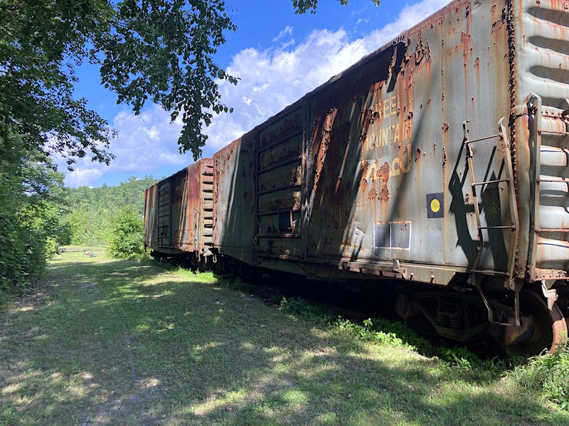
Railroad Forums 

  • NH to VT Rail Trail Trek

  • Pertaining to all railroading subjects, past and present, in New England
Pertaining to all railroading subjects, past and present, in New England

Moderators: MEC407, NHN503

 #1603618  by highrail
 
Pretty interesting trek! Thanks for posting. Where were the boxcars, and where is the bridge with the rails still in place? Thanks!
Steve
 #1608448  by sextant
 
Been at the CV/B&M yard in Brattleboro but the approach the bridge on the Vermont side was too overgrown to get on
 #1608479  by shadyjay
 
I rode the Fort Hill Branch a few weeks ago, starting at the parking lot on NH 119 near the start of the Ashulot Branch, and continued up to the CT River Bridge and back. I had to do it in two sections, however, because of a construction crew working in the middle of the trail, just south of another parking lot just off NH 119. I thought the Fort Hill was in pretty good condition with a pretty good trail surface. Its virtual lack of grade crossings (due to it being along the east bank of the CT River) was nice. The highlight is definitely the CT River Bridge. I stepped out about 2 ties and turned back... their condition isn't the greatest. I'm really surprised there isn't any barricade from the NH side blocking access, a fence, or even signs.

My plan is to start knocking off the Keene, NH area trails next year. That should keep me busy for a bit.
 #1608654  by shadyjay
 
From a financial standpoint, it makes sense to do that. The NH 119 bridge is being replaced (on a new alignment which will cross over the NECR tracks on the VT side) and it wouldn't be too much to accommodate a sidewalk/shoulders, providing it was incorporated into the bridge design). As cool as it would be to convert the railroad bridge to a path, the question would be how to deal with the VT side... it touches down at the north end of the rail yard adjacent to the wastewater plant. Google Maps shows a road (Riverside Drive) but it doesn't appear to be much more than a gravel drive, which dumps you onto VT 142, which doesn't appear to have much in the way of room for bike lanes, or even traditional shoulders.
https://www.google.com/maps/@42.8398966 ... a=!3m1!1e3

So, in this case, the new road bridge is probably a better solution.