• CSX signal replacement across New York State

  • Pertaining to all railroading subjects, past and present, in New York State.
Pertaining to all railroading subjects, past and present, in New York State.

Moderator: Otto Vondrak

  by SST
 
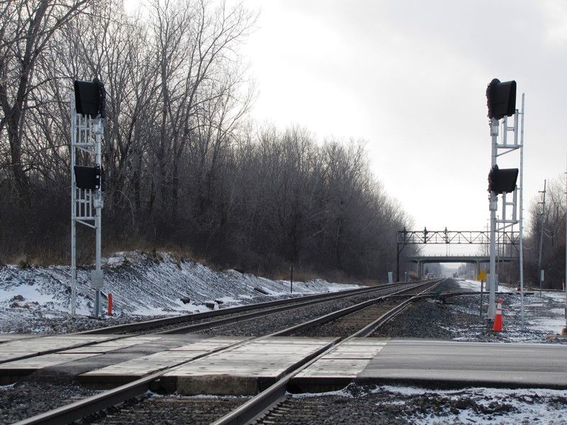
I did pass through the Rock Glenn area but I didn't see nor was I looking for any signals at that point. I will be traveling through the area again when the snow flies. Where should I look relative to NS line crossing at 19? I'm not familiar with the area.

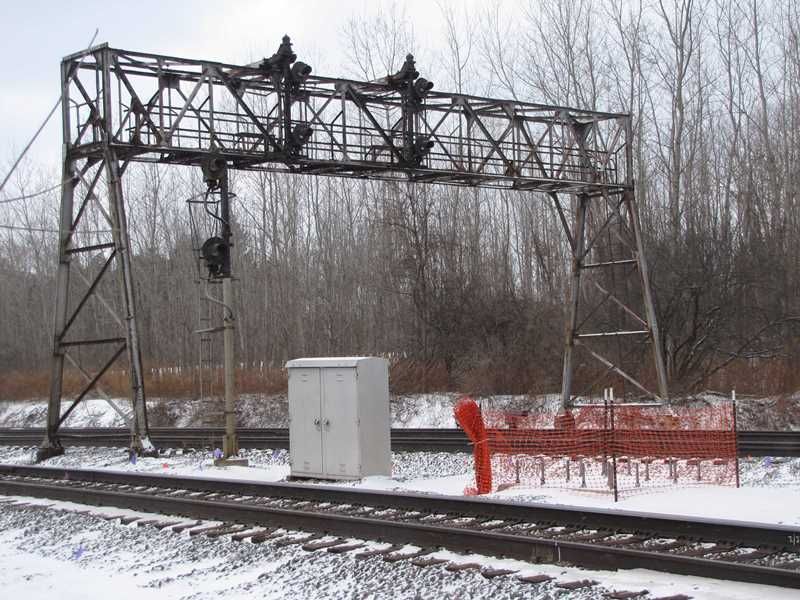
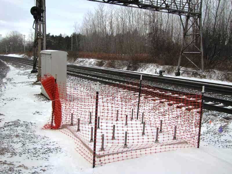
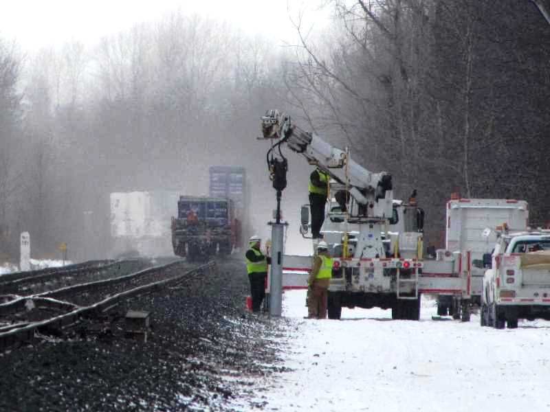
I don't think this is that far off topic simply becuase we are discussing signals, not just CSX.
  by FarmallBob
 
SST wrote:..... I will be traveling through the area again when the snow flies. Where should I look relative to NS line crossing at 19? I'm not familiar with the area....
Controlled point ROCK GLEN on the NS is easy to find!

Head south out of Warsaw on Main St (route 19). About 1/4 mile after the cemetery look for Curtis Rd on your right. Follow Curtis west - the grade crossing at CP ROCK GLEN (milepost 371) is about a half mile up the hill.

Incidentally from the grade crossing you have an excellent view of the ROCK GLEN EB home signal.

...FB
  by charlie6017
 
SST wrote:Where should I look relative to NS line crossing at 19? I'm not familiar with the area.
**Edit--I see Bob just beat me to it** ;-)

CP Rock Glen is just time-table east (direction south) of Weathersfield Rd in Rock Glen. It's just
a little bit north of where the Southern Tier Line cross over Rte. 19 on an overpass.

We may wish to create a separate thread for Norfolk Southern's signal replacement in NYS, however, as
this one is for CSX's signal replacement in NY.

Charlie
  by MC6853
 
charlie6017 wrote: We may wish to create a separate thread for Norfolk Southern's signal replacement in NYS, however, as
this one is for CSX's signal replacement in NY.

Charlie
You certainly could but it wouldn't be a very long topic... Apart from the Erie searchlight signals at Rock Glen (if they're still there!), along with the remaining 1980s-era Conrail Type G tricolor lights in various places, most of the pre-NS signals on the route have since been replaced with their version of Safetrans signals...

Now if we could go back in time and start a topic on Southern Tier signals back when the semaphores and searchlights were still common, then there'd be a fun topic to follow...

Getting back to CSX, I haven't heard of any signal suspensions in the plans lately, and the installation of new signals appears to have slowed significantly as of late... I'd assume cold and snow are to blame?
  by nick_anshant
 
MC6853 wrote: Getting back to CSX, I haven't heard of any signal suspensions in the plans lately, and the installation of new signals appears to have slowed significantly as of late... I'd assume cold and snow are to blame?

Peak UPS season in November and December is the reason you didn't see anything then. Signal cutovers will begin again in March. Cold and snow aren't really to blame as these cutovers generally need to be planned more than 60 days in advance. Also, last year we cut over in the middle of February on the Rochester Sub and I assure you there was snow and it was plenty cold. This is just the way the cards played out this year.

Nick
  by FarmallBob
 
nick_anshant wrote:
MC6853 wrote: .... Signal cutovers will begin again in March. Cold and snow aren't really to blame as these cutovers generally need to be planned more than 60 days in advance. Also, last year we cut over in the middle of February on the Rochester Sub and I assure you there was snow and it was plenty cold. This is just the way the cards played out this year.

Nick
It looks like some new signal installation work may be imminent at CP382. All 4 quadrants of the ROW at the Attridge Rd grade crossing are loaded with newly placed flags identifying underground sewer, gas, fiber, etc. lines.

Also, when I drove by last Friday I spotted a friend who works for the county water authority. He was scanning the ground with an instrument and placing flags to mark the buried MCWA main. Said he was sticking flags in preparation for "some digging" in the area by others.

Incidentally a crew from Danella set off several of precast concrete signal bases and associated hardware here - also at CP380 - back in November.

....FB
  by lvrr325
 
CP263 Sand Hill road crossing is torn out and gravel, conduit that curves under the road north of the tracks added, hard to tell in the dark but masts for new signals may already be added on the west side of the CP.
  by nick_anshant
 
lvrr325 wrote:CP263 Sand Hill road crossing is torn out and gravel, conduit that curves under the road north of the tracks added, hard to tell in the dark but masts for new signals may already be added on the west side of the CP.

Do you know if this crossing is being completely removed by the state?

Thanks.

Nick
  by ctclark1
 
lvrr325 wrote:CP263 Sand Hill road crossing is torn out and gravel, conduit that curves under the road north of the tracks added, hard to tell in the dark but masts for new signals may already be added on the west side of the CP.
http://goo.gl/maps/rWSYG" onclick="window.open(this.href);return false; Looks like the conduits have been there since at least this summer... Didn't know the Street View Mobile was still making rounds. Masts on the east side were up at the time the SVM went through. I'm interested by the fact that the signal heads are installed prior to erection... Is that to lessen the need to work in the air?
  by SST
 
I haven't driven back to the Rock Glenn area but was just viewing it via Google. There is sufficient sunlight and shadowing. I think I have located a signal where NS hugs Dutton Rd just north of Weathersfield Rd. Is this the signal in question?

I also found one more obvious on the south side of Weathersfield.
  by jurtz
 
lvrr325 wrote:CP263 Sand Hill road crossing is torn out and gravel, conduit that curves under the road north of the tracks added, hard to tell in the dark but masts for new signals may already be added on the west side of the CP.
Yes, there is a single mast up on the north side of the ROW (signal heads turned away) and a cantilever bridge up on the south side with the bridge turned parallel to the tracks.
nick_anshant wrote:
lvrr325 wrote:CP263 Sand Hill road crossing is torn out and gravel, conduit that curves under the road north of the tracks added, hard to tell in the dark but masts for new signals may already be added on the west side of the CP.

Do you know if this crossing is being completely removed by the state?

Thanks.

Nick
It will be, but not until around 2018. The state held hearings last summer. Improvements need to me made to Kotary Road and the Randall Rd. bridge before they close the crossing. It was "fast tracked" last summer, supposedly to obtain federal grants for the project.
  by FarmallBob
 
Preliminary work for replacement signals at CP 382 is underway.

This new foundation is what appears to be a cantilever is now in place on the south side of the ROW just east of the existing WB signal bridge:

Image


Closeup of the foundation. The 16 bolt pattern looks identical to the base for the 3 track cantilever at CP 266 (Oneida):

Image


On Monday 1/20 this crew was spotted setting what looks like a base for a signal mast on the north side of track 1 just west of the CP 382 EB signal bridge:
Image


Finally here's a view of newly installed 376 automatics - not yet in service - at Pixley Rd. The existing auto 376 bridge is in the background:
Image

...FB
  by ctclark1
 
Is it just a bad angle on the A376 picture that I'm not seeing the eastbound signals or are they doing something crazy here like separating the east and west signals?

Also, a random question I thought of regarding 382, how does the s-curve coming over from the west shore affect engineers' views of the absolute signal there? The most recent timetable I see has the speed limit at 45 there, does that make for some tricky stops or is it usually a given that you'll be waiting to cross back over onto the main so you're usually approaching the CP slowly anyway?

I guess ultimately where my question is leading is was the S-Curve a consideration in not perhaps putting a 4-track cantilever supported from, maybe, the north side of the CS and having all four signals elevated? Will the signal coming off the shore be placed in roughly the same location or moved eastward along the line to improve sight distances? (Especially since it has been mentioned that the Vaders don't seem to be as easily viewed from an angle due to the insane hoods and different optics).
  by FarmallBob
 
ctclark1 wrote:Is it just a bad angle on the A376 picture that I'm not seeing the eastbound signals or are they doing something crazy here like separating the east and west signals?
Yeah - it's a bad angle situation..

There's actually (4) heads on each new mast. The way the heads are currently "aimed" (all look toward the field side of the ROW) the WB signal heads pretty much hide the EB heads from where I was standing.

...FB
  by ScotCP356
 
Does anybody knows when this year the old signals in Macedon will come down and the new signals will be online?

-Scottie
  • 1
  • 42
  • 43
  • 44
  • 45
  • 46
  • 63