More from the Boston City Archives.
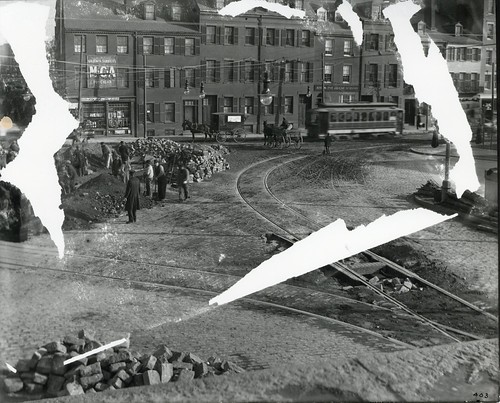
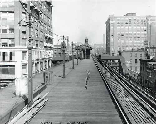
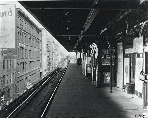
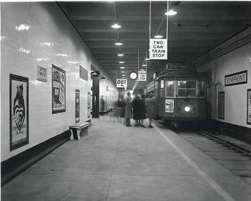
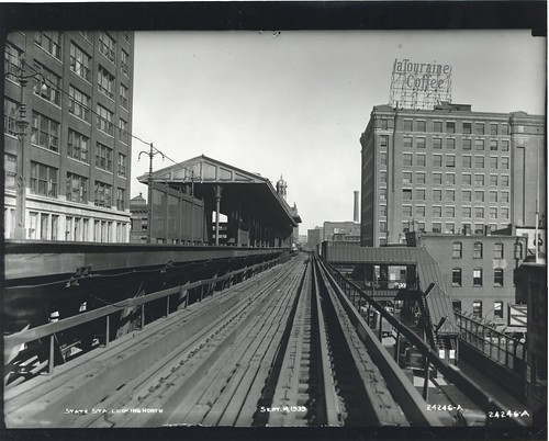 State Station looking north by City of Boston Archives, on Flickr
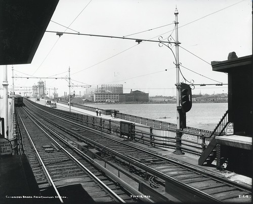
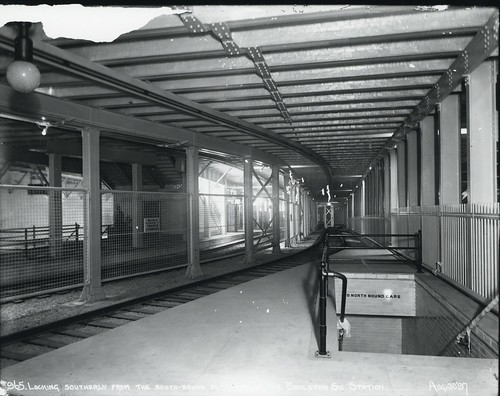
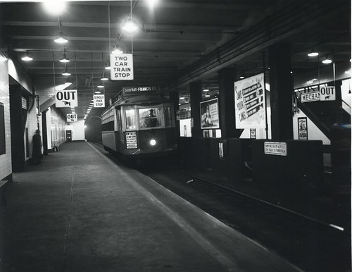
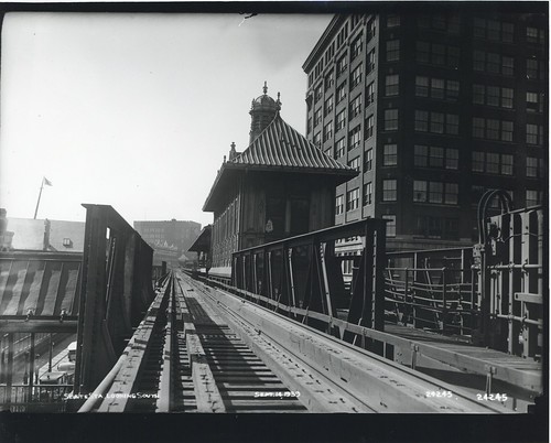 State Station looking south by City of Boston Archives, on Flickr
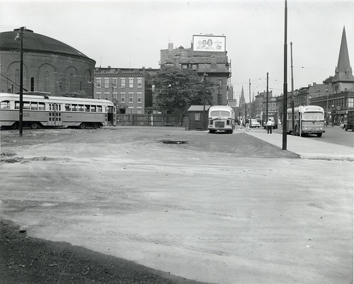
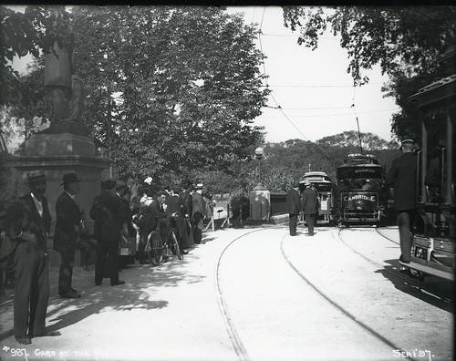
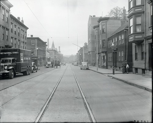
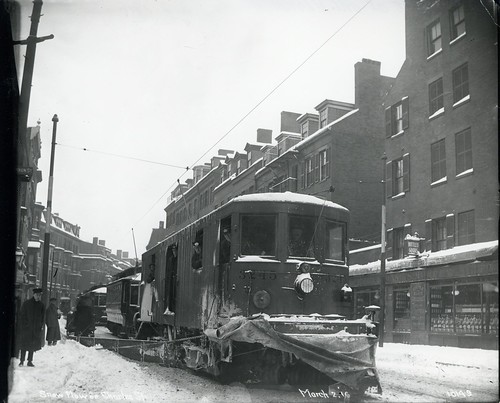
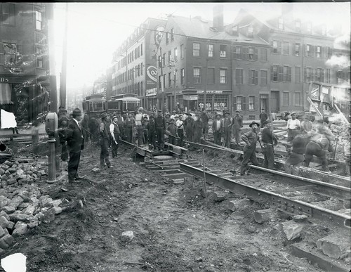
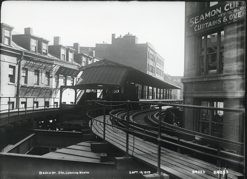
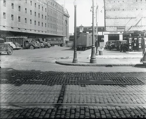
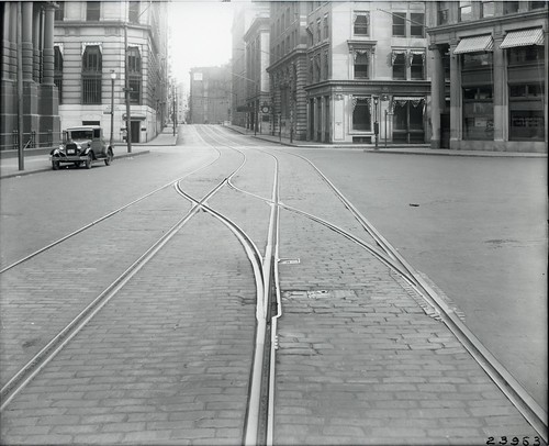
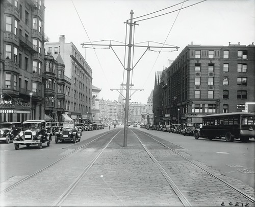
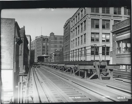 Beach Street by City of Boston Archives, on Flickr
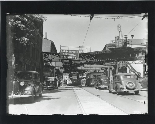
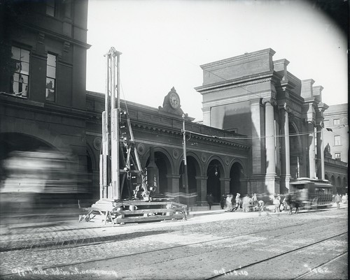
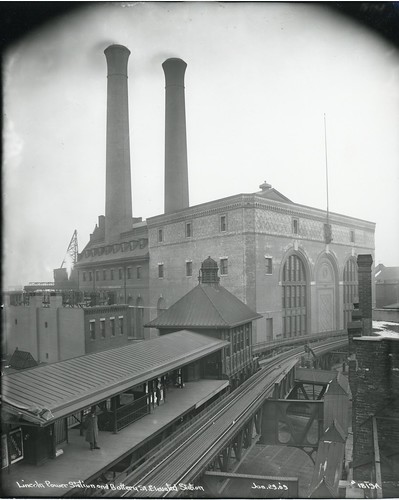
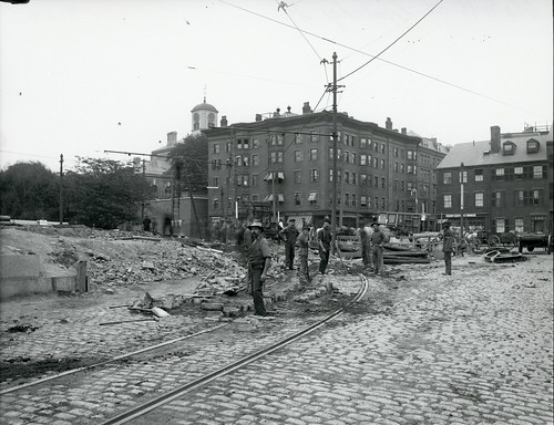
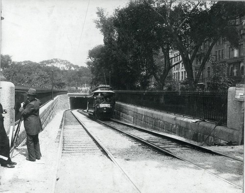
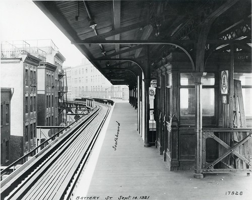
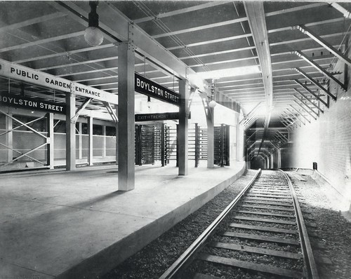
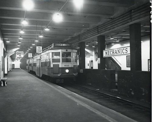
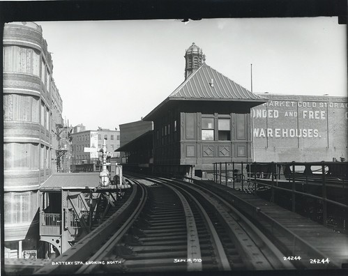 Battery Station looking north by City of Boston Archives, on Flickr
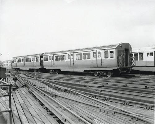
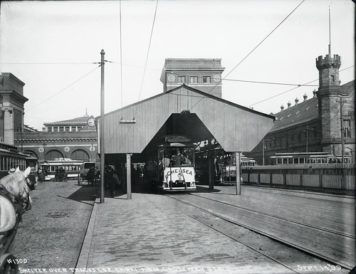
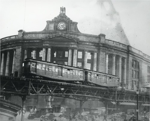
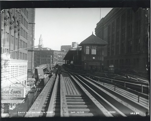 South Station looking north by City of Boston Archives, on Flickr
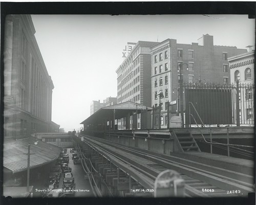 South Station looking south by City of Boston Archives, on Flickr
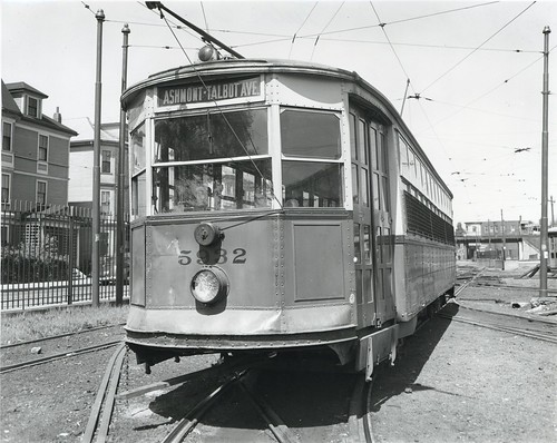
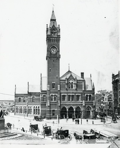
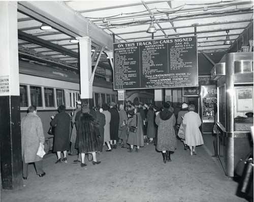
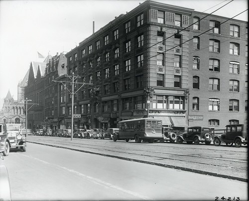
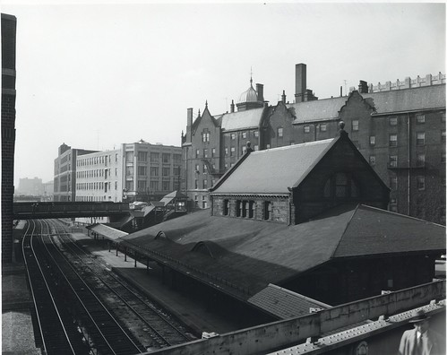 Trinity Place Station by City of Boston Archives, on Flickr
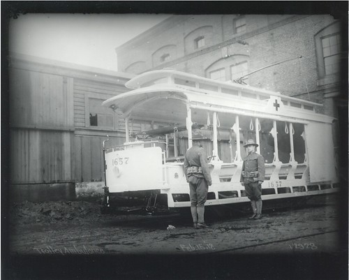
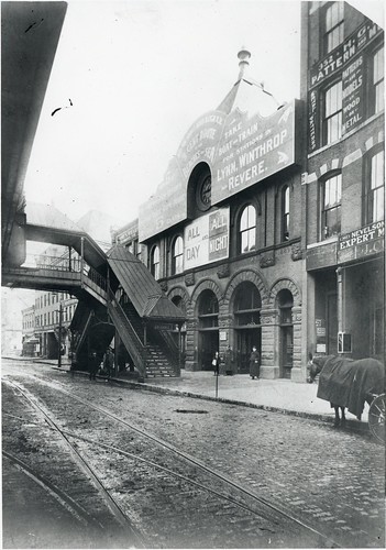 Atlantic Avenue, Boston Revere Beach and Lynn Railroad Station by City of Boston Archives, on Flickr
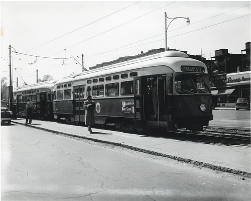
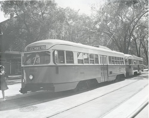
 Dudley Street by City of Boston Archives, on Flickr
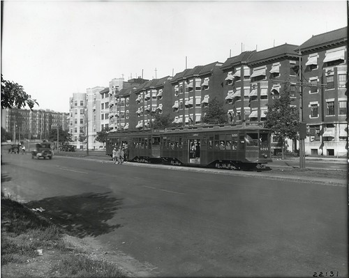
 Huntington Avenue at the Martin School by City of Boston Archives, on Flickr
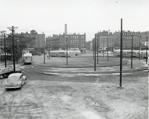
 Seaver Street Loop, Roxbury by City of Boston Archives, on Flickr
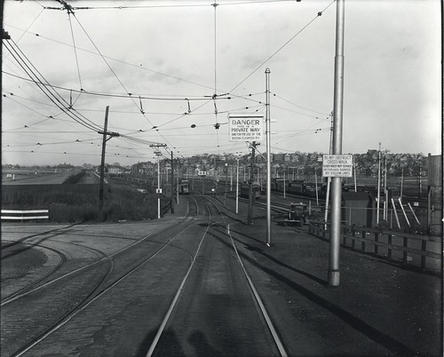
 Sullivan Square from expressway by City of Boston Archives, on Flickr
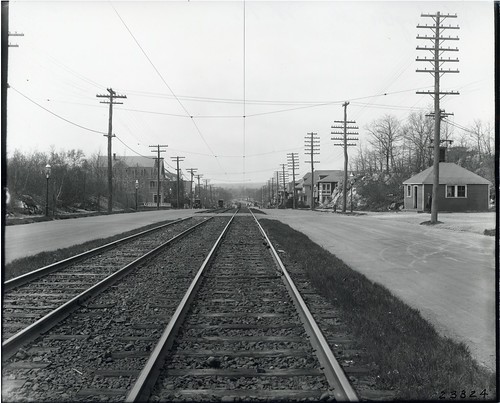
 Farragut Road, South Boston by City of Boston Archives, on Flickr
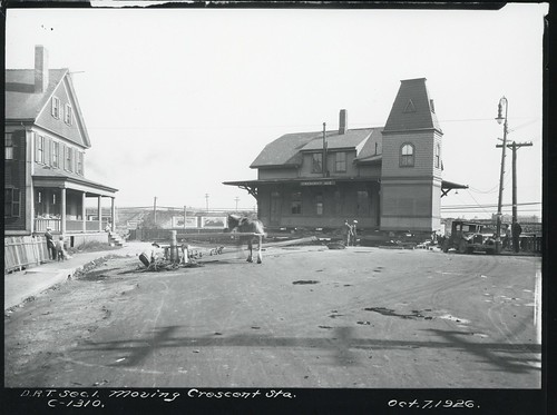
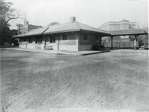 Milton Station by City of Boston Archives, on Flickr
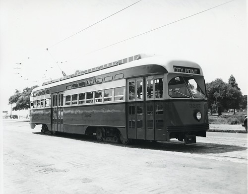
 Beacon Street at Cleveland Circle by City of Boston Archives, on Flickr
 Dorchester Lower Mills by City of Boston Archives, on Flickr
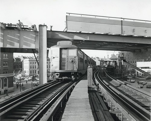
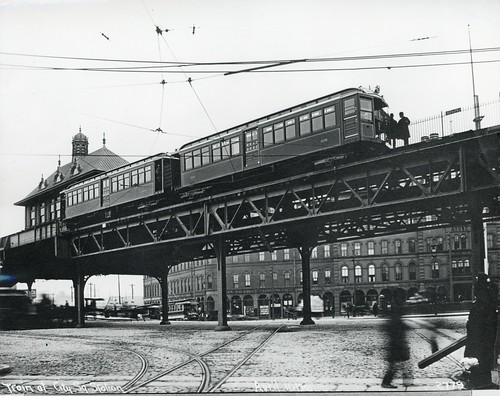
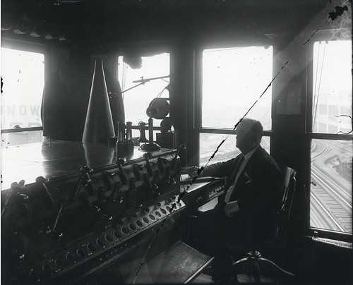 Tower on elevated, near North Station by City of Boston Archives, on Flickr
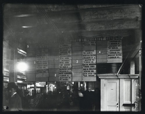 Destination board, Park Street Station by City of Boston Archives, on Flickr
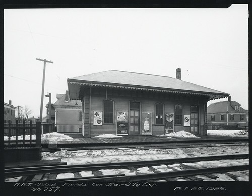 Fields Corner Station, southerly exposure by City of Boston Archives, on Flickr
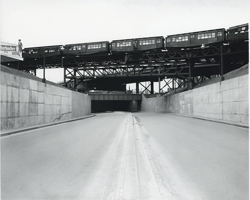
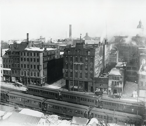
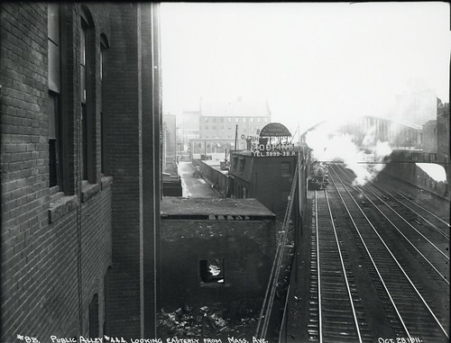
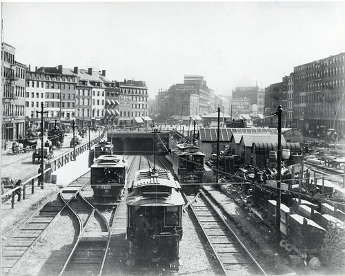
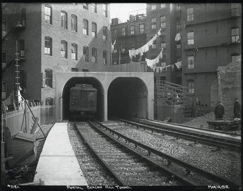
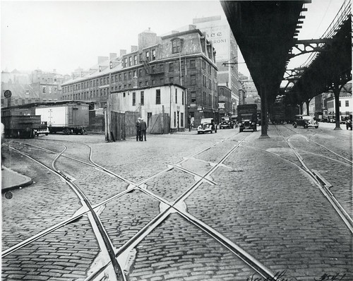
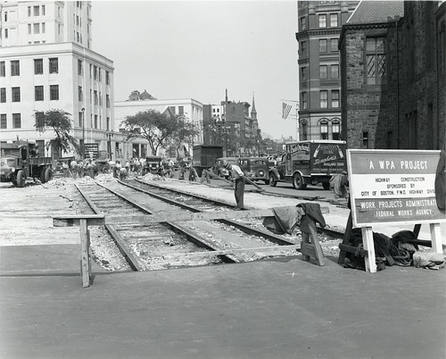
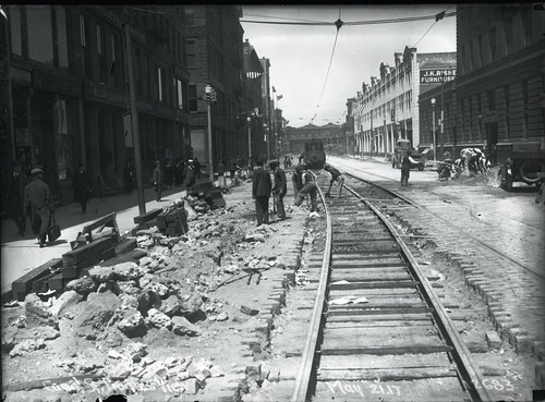 Canal Street progress view by City of Boston Archives, on Flickr
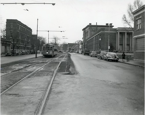
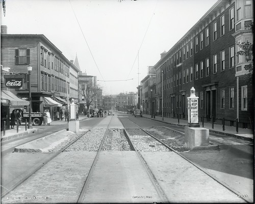
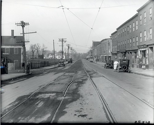
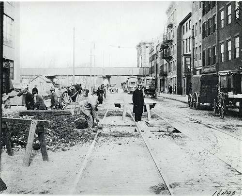
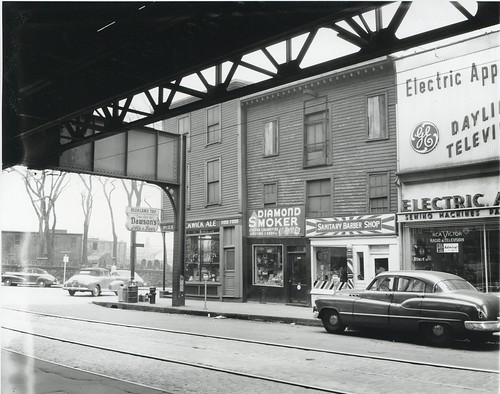 Washington Street at Eustis Street by City of Boston Archives, on Flickr
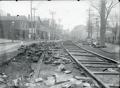 Dudley Street near Eliot Square by City of Boston Archives, on Flickr
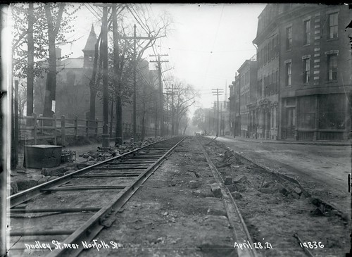 Dudley Street near Norfolk Street by City of Boston Archives, on Flickr
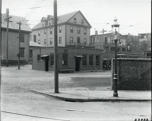
 Andrew Square Station by City of Boston Archives, on Flickr
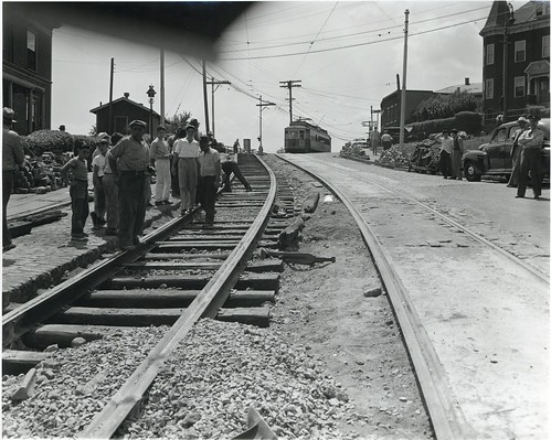
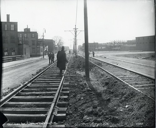 Old Colony Avenue, lining up track near D Street by City of Boston Archives, on Flickr
 Fields Corner by City of Boston Archives, on Flickr
 Fields Corner by City of Boston Archives, on Flickr
 Saint Kevin's Church, Columbia Road by City of Boston Archives, on Flickr
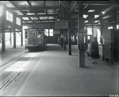
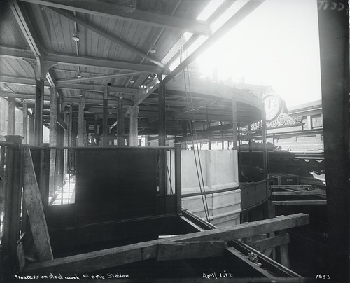
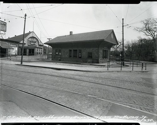 Lobby at Mattapan Square from Mattapan Square by City of Boston Archives, on Flickr
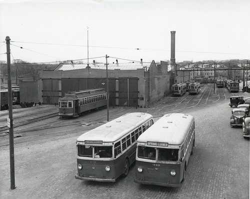
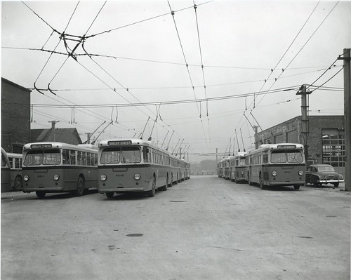
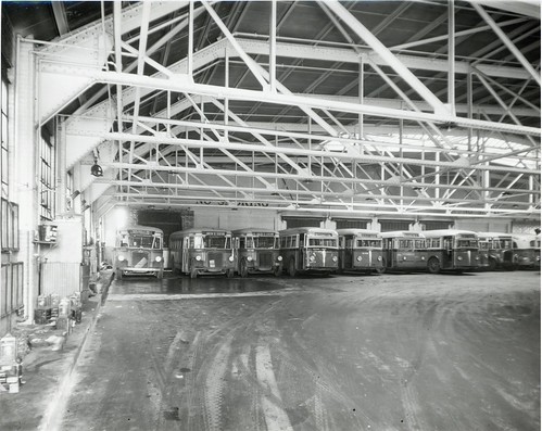 Arborway garage by City of Boston Archives, on Flickr
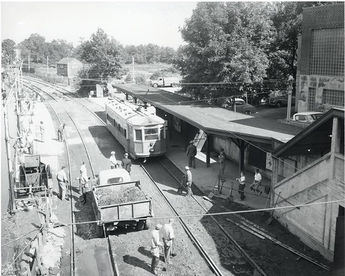
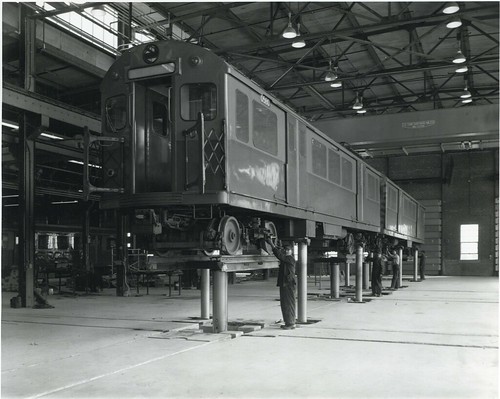
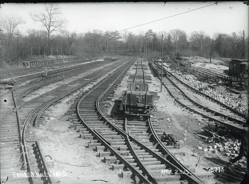 Forest Hills Yard by City of Boston Archives, on Flickr
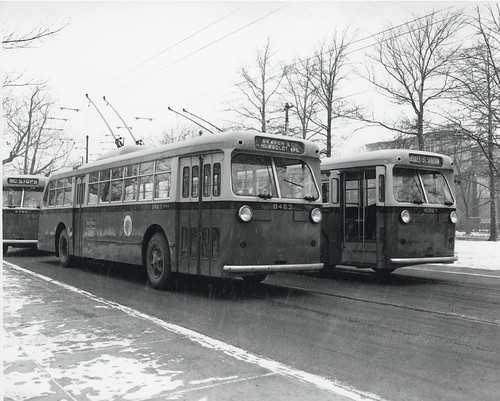
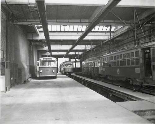 Arborway carhouse by City of Boston Archives, on Flickr
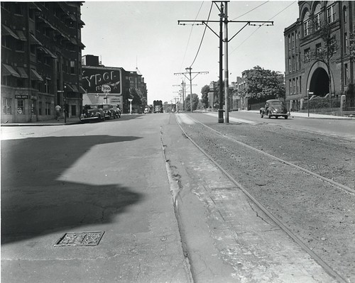
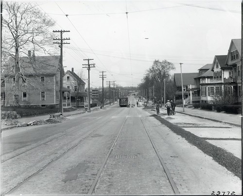
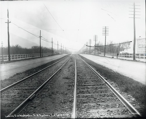
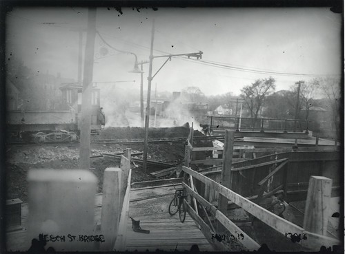 Beech Street Bridge, West Roxbury by City of Boston Archives, on Flickr
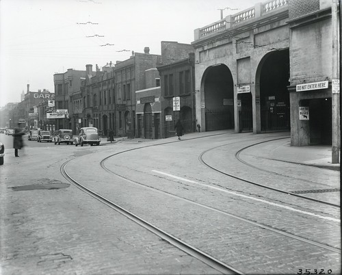
 Eagle Street, East Boston by City of Boston Archives, on Flickr
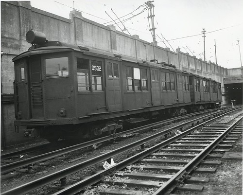
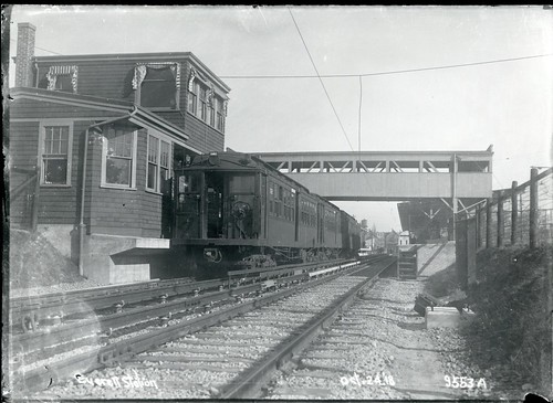 Everett Station by City of Boston Archives, on Flickr
State Station looking north by City of Boston Archives, on FlickrState Station looking south by City of Boston Archives, on FlickrBeach Street by City of Boston Archives, on FlickrBattery Station looking north by City of Boston Archives, on FlickrSouth Station looking north by City of Boston Archives, on FlickrSouth Station looking south by City of Boston Archives, on FlickrTrinity Place Station by City of Boston Archives, on FlickrAtlantic Avenue, Boston Revere Beach and Lynn Railroad Station by City of Boston Archives, on FlickrDudley Street by City of Boston Archives, on FlickrHuntington Avenue at the Martin School by City of Boston Archives, on FlickrSeaver Street Loop, Roxbury by City of Boston Archives, on FlickrSullivan Square from expressway by City of Boston Archives, on FlickrFarragut Road, South Boston by City of Boston Archives, on FlickrMilton Station by City of Boston Archives, on FlickrBeacon Street at Cleveland Circle by City of Boston Archives, on FlickrDorchester Lower Mills by City of Boston Archives, on FlickrTower on elevated, near North Station by City of Boston Archives, on FlickrDestination board, Park Street Station by City of Boston Archives, on FlickrFields Corner Station, southerly exposure by City of Boston Archives, on FlickrCanal Street progress view by City of Boston Archives, on FlickrWashington Street at Eustis Street by City of Boston Archives, on FlickrDudley Street near Eliot Square by City of Boston Archives, on FlickrDudley Street near Norfolk Street by City of Boston Archives, on FlickrAndrew Square Station by City of Boston Archives, on FlickrOld Colony Avenue, lining up track near D Street by City of Boston Archives, on FlickrFields Corner by City of Boston Archives, on FlickrFields Corner by City of Boston Archives, on FlickrSaint Kevin's Church, Columbia Road by City of Boston Archives, on FlickrLobby at Mattapan Square from Mattapan Square by City of Boston Archives, on FlickrArborway garage by City of Boston Archives, on FlickrForest Hills Yard by City of Boston Archives, on FlickrArborway carhouse by City of Boston Archives, on FlickrBeech Street Bridge, West Roxbury by City of Boston Archives, on FlickrEagle Street, East Boston by City of Boston Archives, on FlickrEverett Station by City of Boston Archives, on Flickr

