More from the city Archive.
https://www.flickr.com/photos/cityofbostonarchives/" onclick="window.open(this.href);return false;
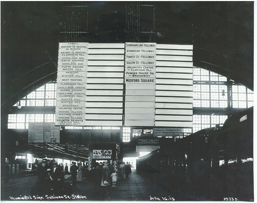
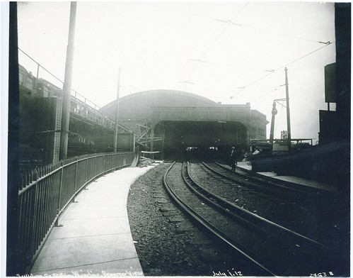
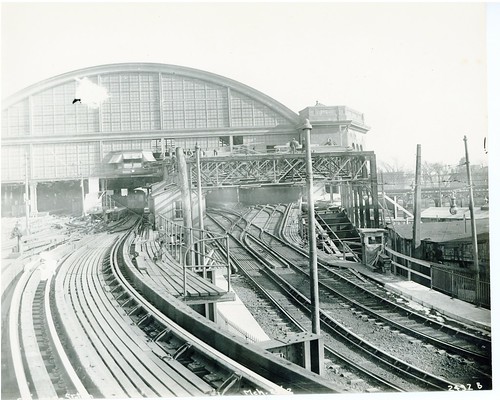
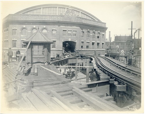
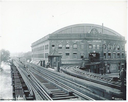
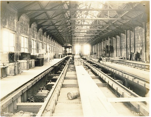
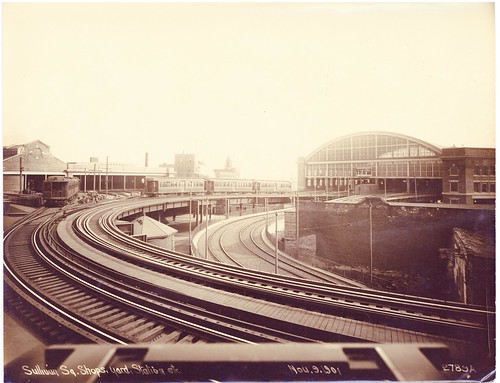
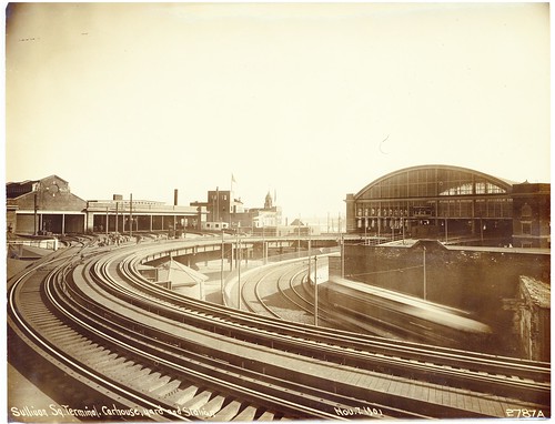
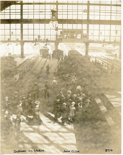
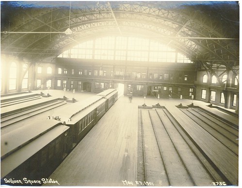
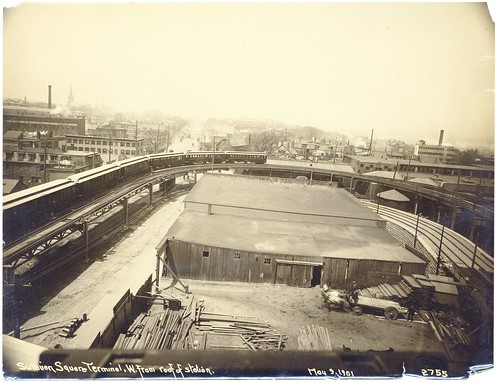
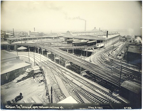
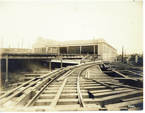
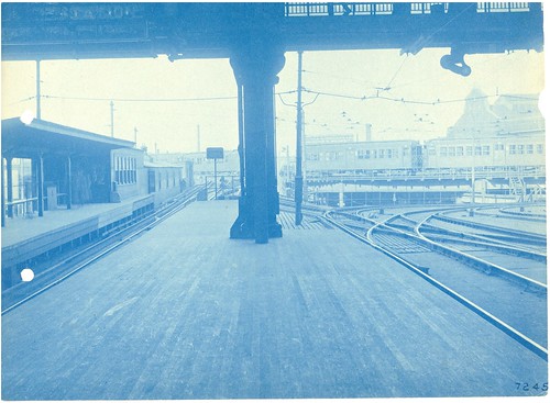
 Sullivan Square Terminal Looking South from Balcony by City of Boston Archives, on Flickr
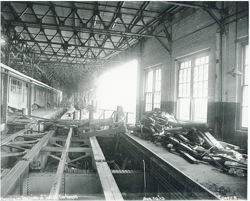
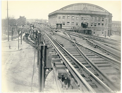
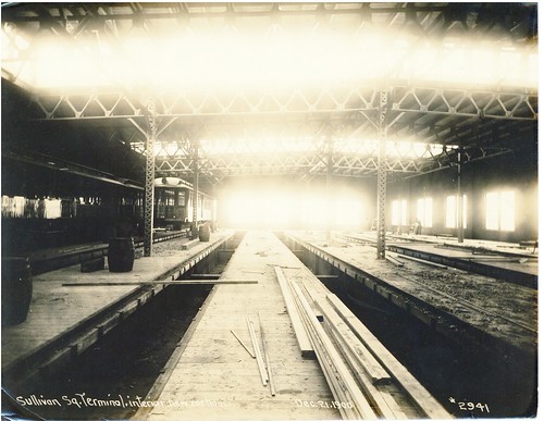
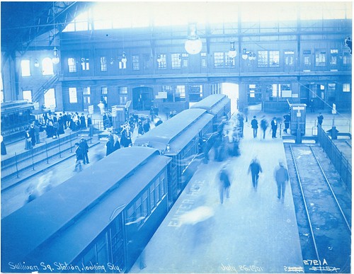
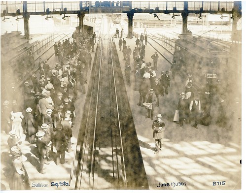
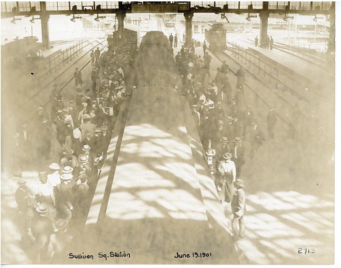
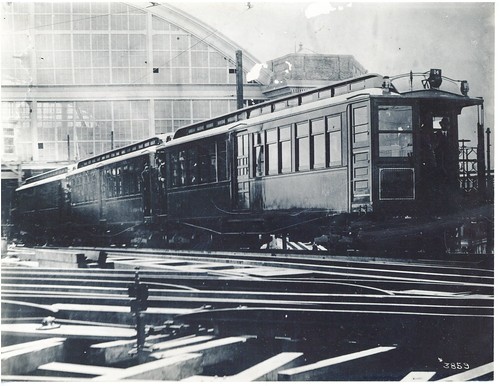
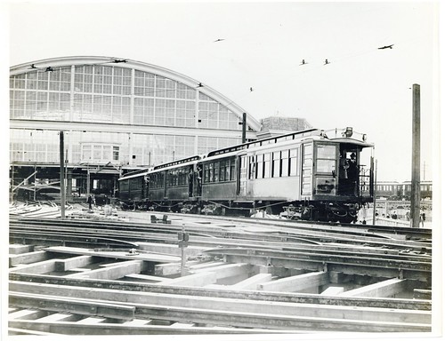
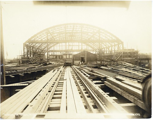
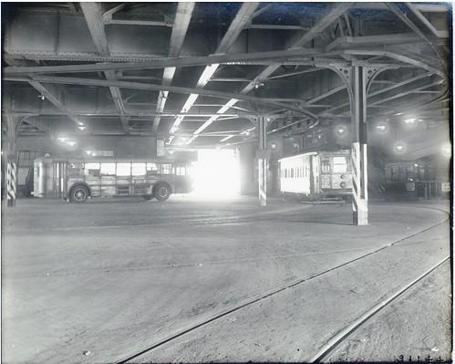 Sullivan Square Lower Level; Type 5 Number 5593 and Train Coach 915 by City of Boston Archives, on Flickr
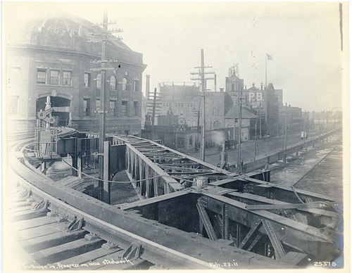
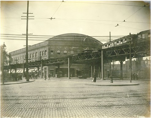
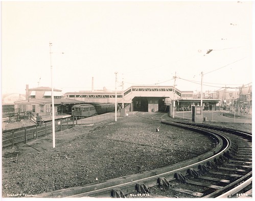 Everett Terminal; Tower M on Left, New Bus Loop for Eastern Massachusetts Buses on Right by City of Boston Archives, on Flickr
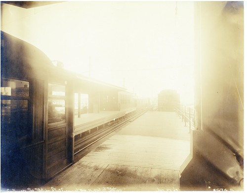
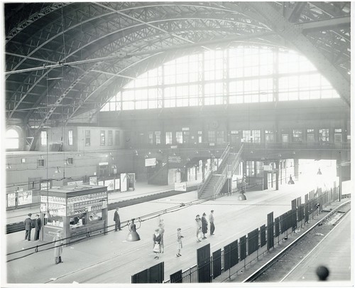
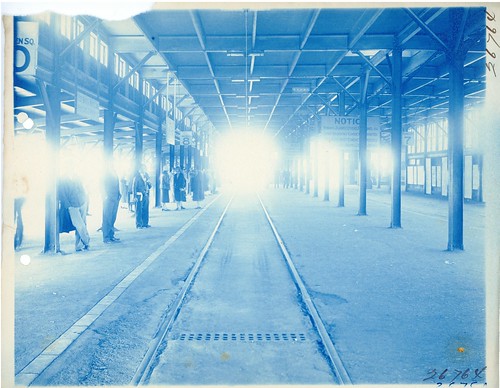
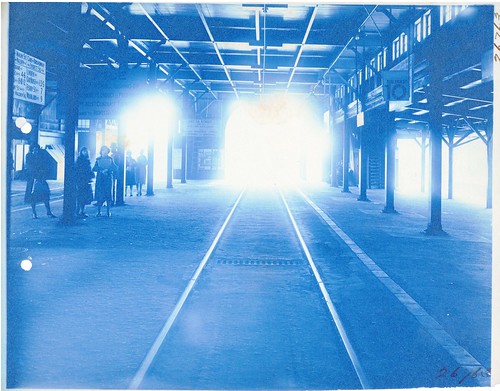
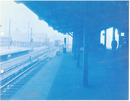
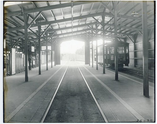 Inbound Platform at Everett Terminal (3 pm) by City of Boston Archives, on Flickr
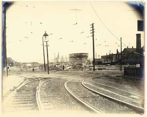
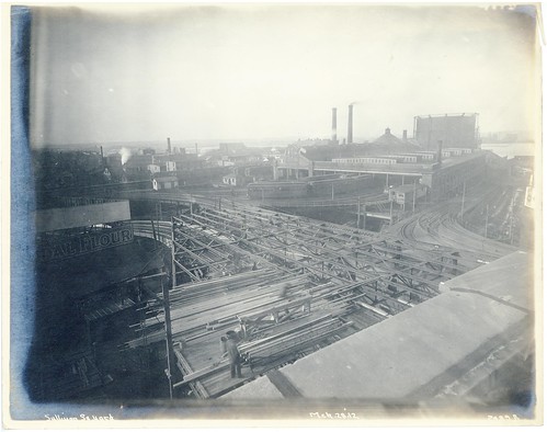
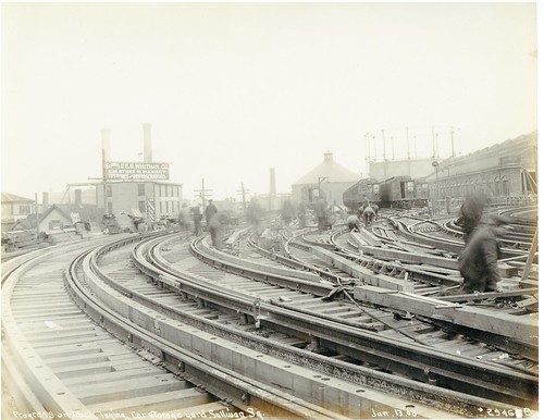
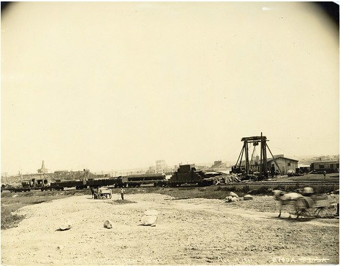
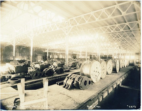
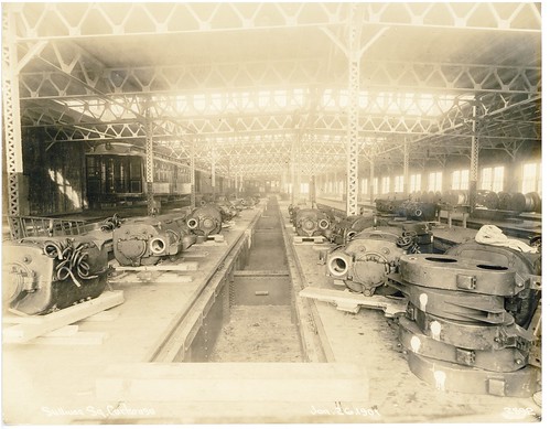
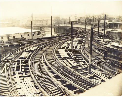
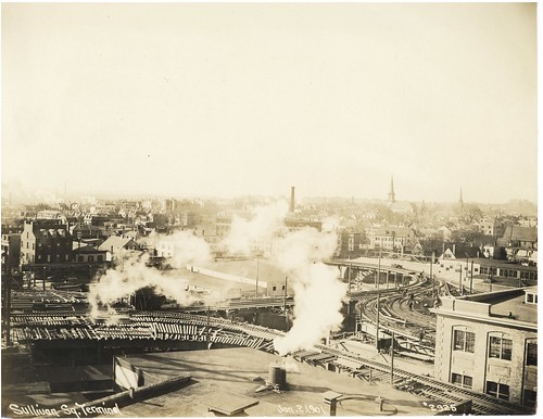
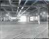
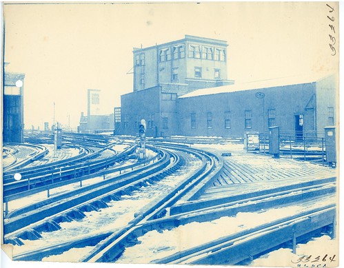
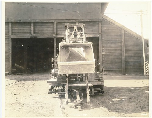 [Charlestown Yard] by City of Boston Archives, on Flickr
 [Everett] by City of Boston Archives, on Flickr
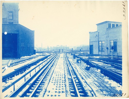 [Everett] by City of Boston Archives, on Flickr
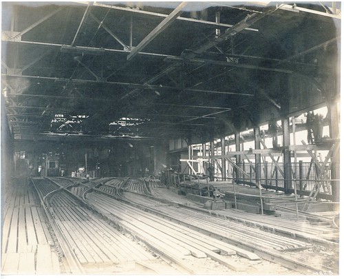
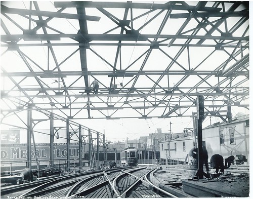
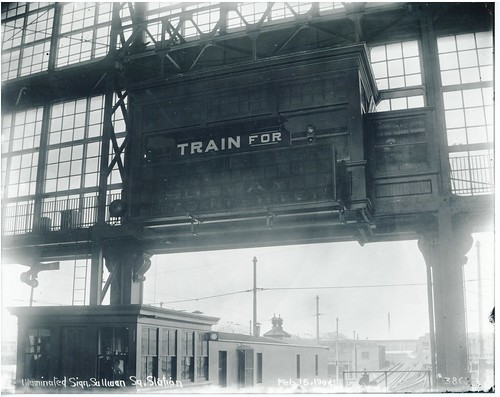
 [Everett Station] by City of Boston Archives, on Flickr
 [Everett Station] by City of Boston Archives, on Flickr
 [Everett Station] by City of Boston Archives, on Flickr
 [Everett] by City of Boston Archives, on Flickr
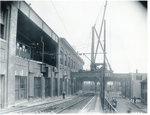
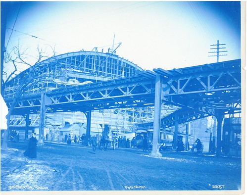
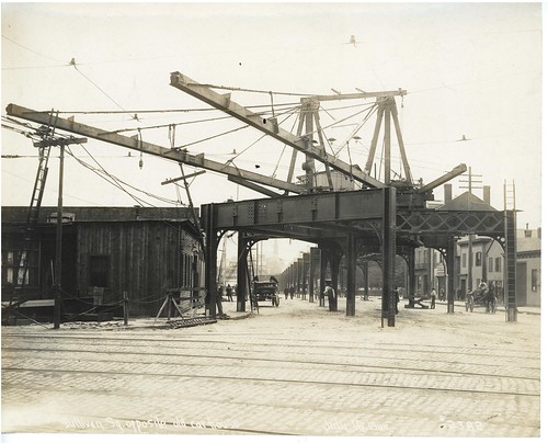
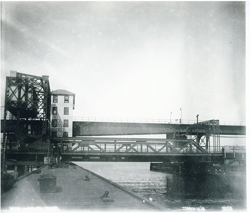 [Bridge] by City of Boston Archives, on Flickr
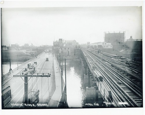 Mystic River Elevated Bridge and Alford Street Bridge, Looking toward Sullivan Square by City of Boston Archives, on Flickr
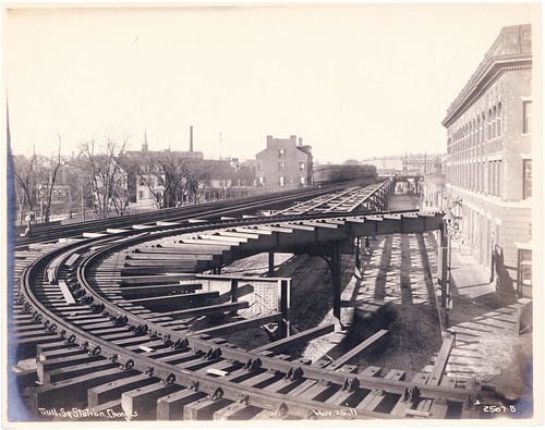
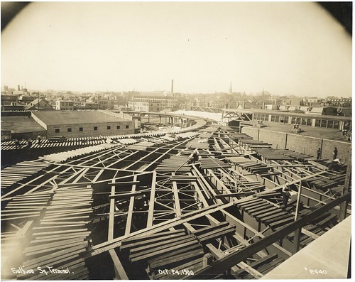
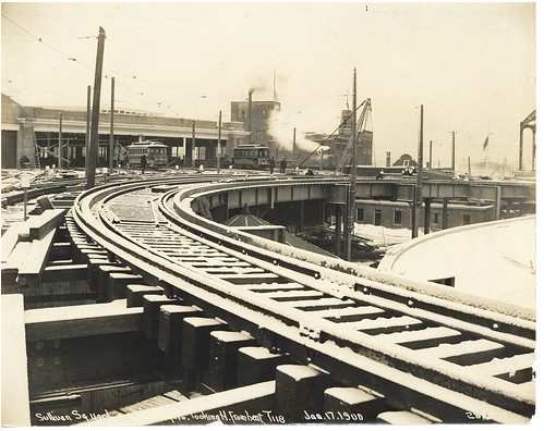
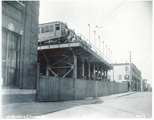 Arlington Avenue, East of Dorrance Street, Sullivan Square by City of Boston Archives, on Flickr
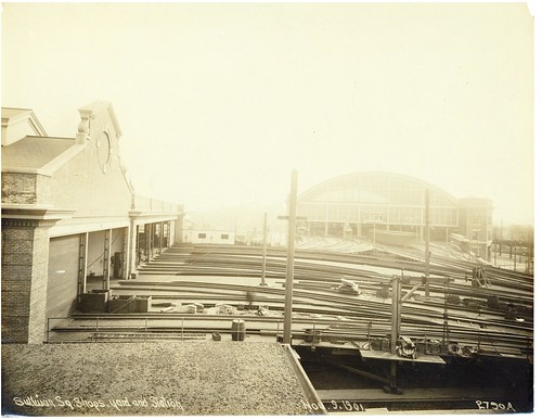
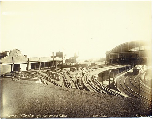
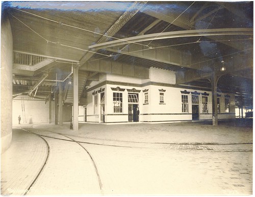
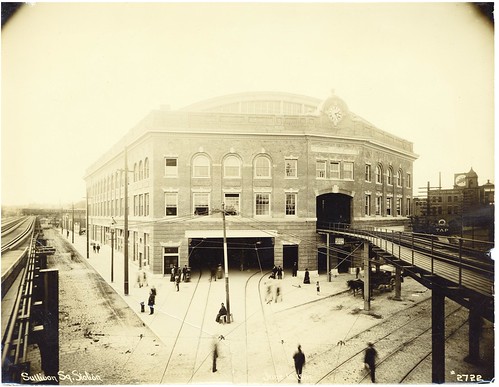
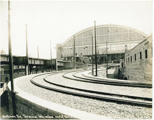
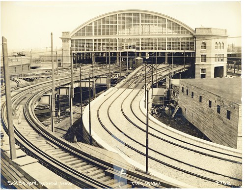
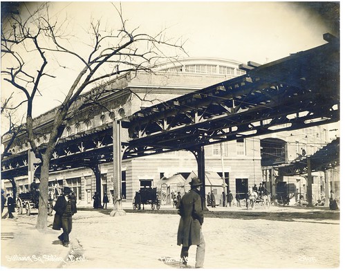
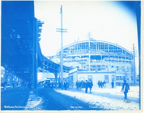
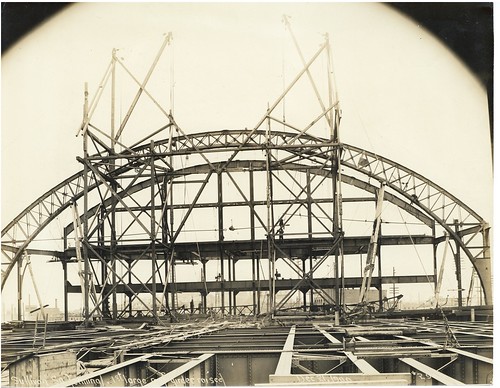
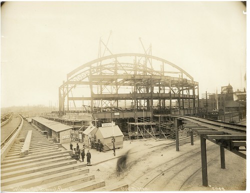
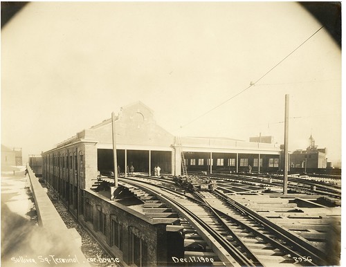
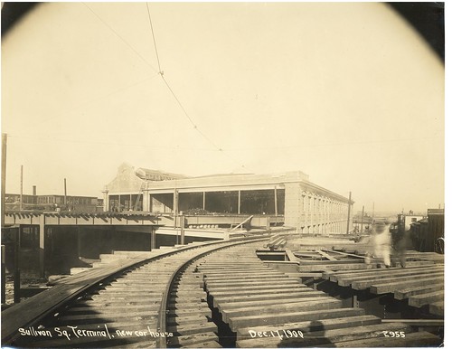
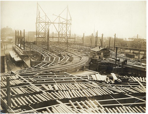
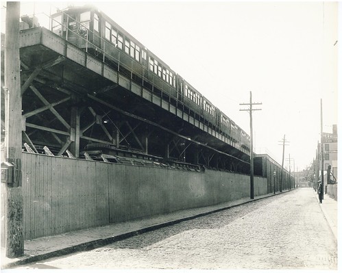 [Sullivan Square] by City of Boston Archives, on Flickr
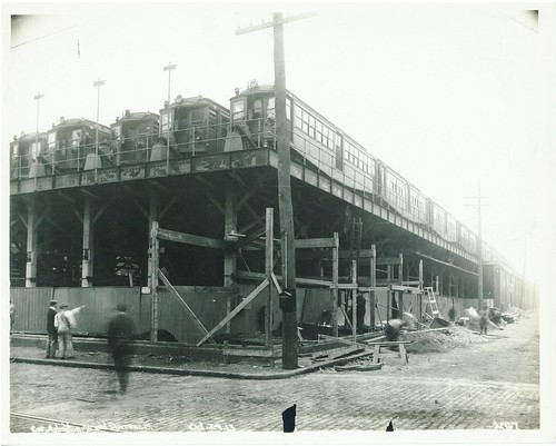 Corner Arlington Avenue and Dorrance Street by City of Boston Archives, on Flickr
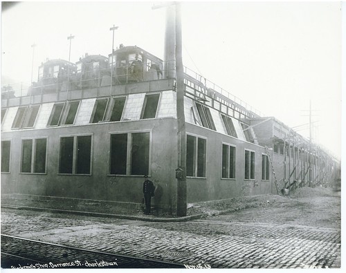 Blacksmith Shop, Dorrance Street, Charlestown by City of Boston Archives, on Flickr
https://www.flickr.com/photos/cityofbostonarchives/" onclick="window.open(this.href);return false;
Sullivan Square Terminal Looking South from Balcony by City of Boston Archives, on FlickrSullivan Square Lower Level; Type 5 Number 5593 and Train Coach 915 by City of Boston Archives, on FlickrEverett Terminal; Tower M on Left, New Bus Loop for Eastern Massachusetts Buses on Right by City of Boston Archives, on FlickrInbound Platform at Everett Terminal (3 pm) by City of Boston Archives, on Flickr[Charlestown Yard] by City of Boston Archives, on Flickr[Everett] by City of Boston Archives, on Flickr[Everett] by City of Boston Archives, on Flickr[Everett Station] by City of Boston Archives, on Flickr[Everett Station] by City of Boston Archives, on Flickr[Everett Station] by City of Boston Archives, on Flickr[Everett] by City of Boston Archives, on Flickr[Bridge] by City of Boston Archives, on FlickrMystic River Elevated Bridge and Alford Street Bridge, Looking toward Sullivan Square by City of Boston Archives, on FlickrArlington Avenue, East of Dorrance Street, Sullivan Square by City of Boston Archives, on Flickr[Sullivan Square] by City of Boston Archives, on FlickrCorner Arlington Avenue and Dorrance Street by City of Boston Archives, on FlickrBlacksmith Shop, Dorrance Street, Charlestown by City of Boston Archives, on Flickr