by Doc Emmet Brown
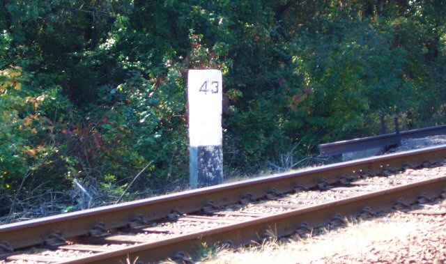
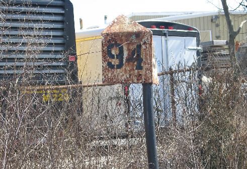
Mileposts are adjacent to the tracks. They are there to be seen by the Engineer and crews, they are there for various reasons, in the pre global positioning system days they were used as a means to tell 204 ones location. They can also be used as a way for an Engineer to determine his speed when the speedometer is broken, he can time how long it takes him to get from one to the next.
They are still used sometimes in train orders as locations for speed restrictions.
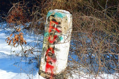
The stone post in my picture is no were near the tracks. It was a simple cement and stone fence post located on top of a hill on the north side of the tracks. far away from the tracks.
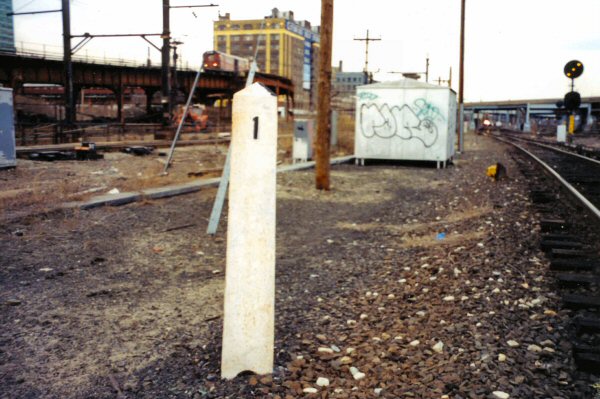
These cement posts are still all over the RR. They were used as fence posts, and in some RR parking lots as a barrier between the parking lot and tracks.
Its not a mile post.
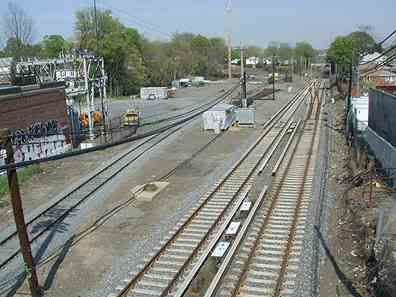
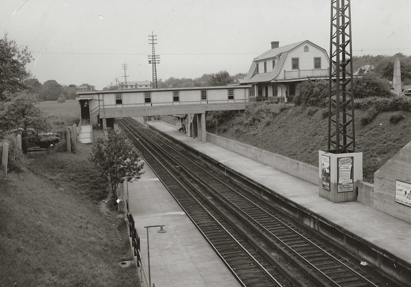
In this picture, taken from the pedestrian trestle east of bayside, the cement post is on the top of the hill towards the east end of the yard, on the north side. It cannot be seen because its up in the trees.
Im not sure, but the milepost might be visible in this picture on the south side of the tracks, near the switch.
Before they made the RR all high platform. most parking lots had the same stone and cement posts as a barrier for parking lots, and even between the tracks n stations, to prevent people from crossing the tracks in the stations with the low platforms. Im sure if one looks around they will find many of them along the wayside especially out east.
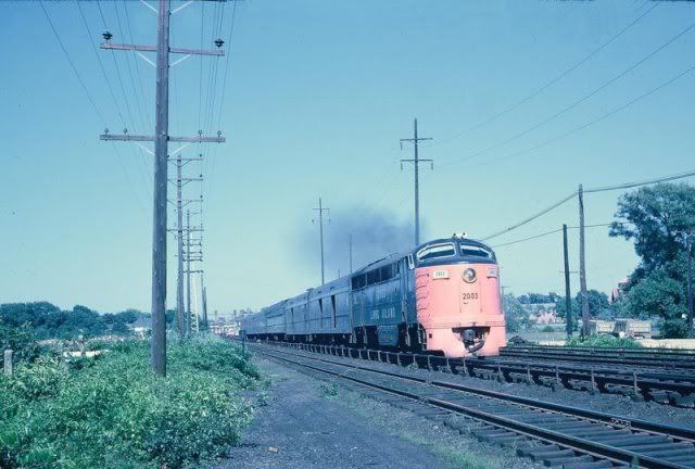
note in this picture the post on the left hand side.
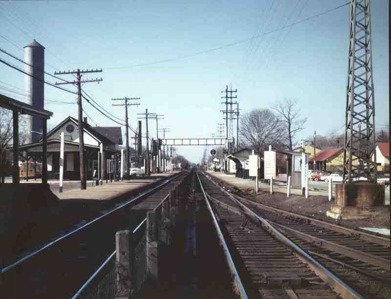
Also note them being used as a barrier in Riverhead, before they raised the platform. In this case they were painted white. Again if one looks for them, they are still all over the RR along the right of way, in various locations.
In this picture, similar posts were used to put a fence between the tracks, and are also on the side painted while as a barrier for the platform
They are still used sometimes in train orders as locations for speed restrictions.
The stone post in my picture is no were near the tracks. It was a simple cement and stone fence post located on top of a hill on the north side of the tracks. far away from the tracks.
These cement posts are still all over the RR. They were used as fence posts, and in some RR parking lots as a barrier between the parking lot and tracks.
Its not a mile post.
In this picture, taken from the pedestrian trestle east of bayside, the cement post is on the top of the hill towards the east end of the yard, on the north side. It cannot be seen because its up in the trees.
Im not sure, but the milepost might be visible in this picture on the south side of the tracks, near the switch.
Before they made the RR all high platform. most parking lots had the same stone and cement posts as a barrier for parking lots, and even between the tracks n stations, to prevent people from crossing the tracks in the stations with the low platforms. Im sure if one looks around they will find many of them along the wayside especially out east.
note in this picture the post on the left hand side.
Also note them being used as a barrier in Riverhead, before they raised the platform. In this case they were painted white. Again if one looks for them, they are still all over the RR along the right of way, in various locations.
In this picture, similar posts were used to put a fence between the tracks, and are also on the side painted while as a barrier for the platform
Marty, It runs on steam!