by RussNelson
O-6-O wrote:Interesting map Russ but also very cinfusing. Shows some post LV Canastota PC alignment and also the line to Camden,Yeah, the guiding principle of OpenStreetMap is that you're supposed to map what's on the ground now. I stretch that a little bit by mapping the remains AND I map old lines in-between the visible remains. That's to give people context and to help them look for more remains. So, for example, I found a part of the Beebe line on the west side of town, so into OSM it went. But I don't know where it went west of Kimberly Drive, so that's not in OSM (yet).
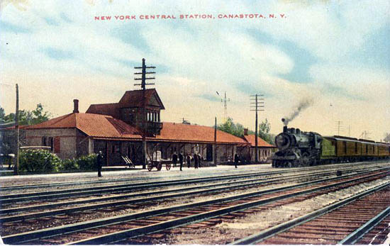
I followed the Shore east to Oneida and it doen't show a single siding let alone the fact it was double tracked or many years..
Interesting also that the Westshore to O&W connection is on there even though that was abandond in 1902.

