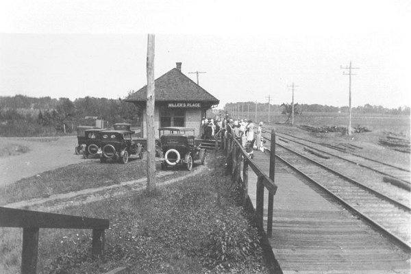
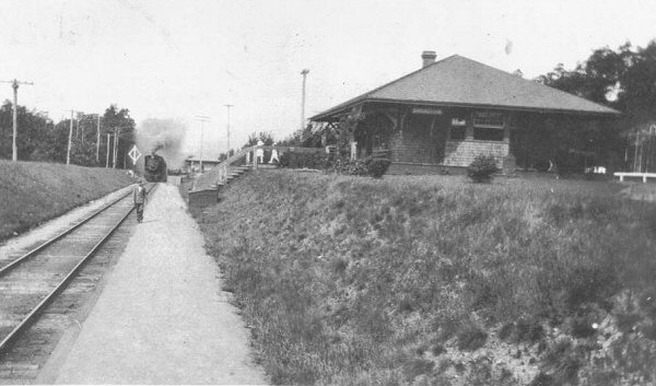
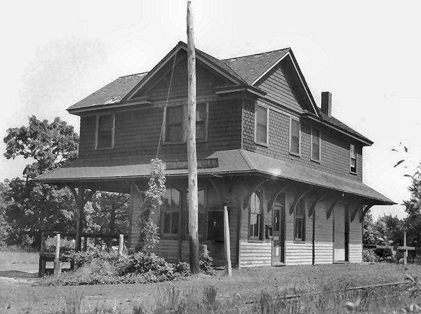
by badneighbor
I spent a few hours today driving around the LIPA right-of-way, down the north shore where the line once extended east from the current Port Jefferson terminus. I found it interesting, guessing which roads seemed like they would have been there back before 1938, when the line was active. Some roads seemed to crown, and are about level with the pathway, and others seem to have been filled and graded, and are obviously newer developments. You can figure about which houses could have been old enough to be there back then, it sure seems the Rocky Point village is clustered around the right-of-way, at the lumber yard which the various LIRR History websites say contains the former station building. With a little imagination, you can see the crossbucks, the tattered ties, and the steam locomotives pulling through these neighborhoods. It is funny when you realize that most of the people there are oblivious, don't care, and only know LIPA's lines are there. It was interesting to track this, and I intend to go again another time. It is too bad the line was surrendered back then, I really think it would be busy today, and the idea of todays trains rolling past the backs of these homes really seems like it would be possible. Too bad the NIMBY opposition, and the costs of re-opening the line will prevent it for my lifetime. Just a thought...