by CGRLCDR
I know this isn't a canal website, but it is sort of related to railroads in the Sayreville area...... 
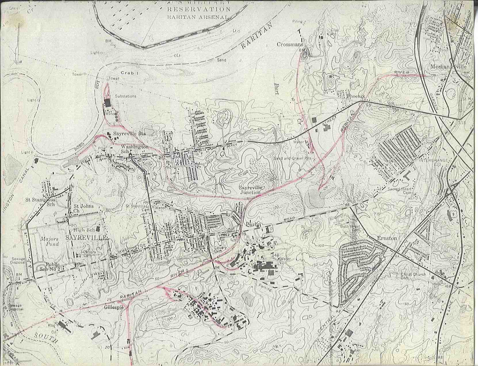
I was looking at some old maps trying to locate the Raritan River Railroad and I came across some interesting stuff. There were bunches of little railroads in the marshlands around Sayreville and on the other side of the Raritan River. I think they were used for the brick making industry. Anyhow, I'd like to know more about them.
Then I came across one map from my Magellan GPS software that shows something called the South River Canal. After poking around a bit I learned that we now call that the Washington Canal and that's the body of water where they had that huge sewage leak last year. Does anyone know the history of the Washington Canal or where I could get more information on it? Was it ever used for barge traffic? My guess is that the the canal was put in for the same reason the railroads were built in the marshes - the brick industry.
Here's the topozone link that shows this canal...
http://www.topozone.com/map.asp?lat=40. ... =-74.36139
Here's the Historic Map website.....
http://historical.maptech.com/getImage. ... g&state=NJ
Last edited by CGRLCDR on Sun Mar 27, 2005 7:17 pm, edited 2 times in total.