by RussNelson
Take a look at this aerial photo: http://mapper.acme.com/?ll=44.75897,-74.97034&z=16&t=O
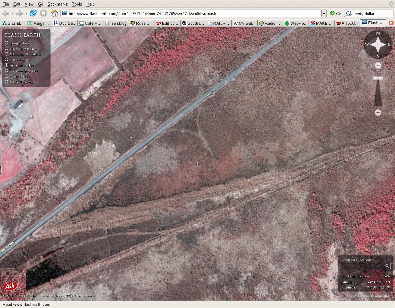
See the faint line to the west of the center cross, curving away from the NYC (now CSX) yard in Norwood? I speculate that it used to connect the east ends of the yards together. I'll check it out in the field next spring. Too much growth right now.
See the faint line to the west of the center cross, curving away from the NYC (now CSX) yard in Norwood? I speculate that it used to connect the east ends of the yards together. I'll check it out in the field next spring. Too much growth right now.
