• CSX Water Level Route

  • Discussion of the operations of CSX Transportation, from 1980 to the present. Official site can be found here: CSXT.COM.
Discussion of the operations of CSX Transportation, from 1980 to the present. Official site can be found here: CSXT.COM.

Moderator: MBTA F40PH-2C 1050

  by gprimr1
 
I need some time tables and frequencies for the CSX Subdivisions on the Water Level Route used by the Maple Leaf.

I'm taking it to Toronto this Friday.

  by Otto Vondrak
 
Perhaps you mean the ex-CR Chicago Line? I assume your internet search turned up nothing?

  by gprimr1
 
Right, but now I'm not sure I did it right? What should I search for? I thought it was all the water level route, but then someone said there's a track only 48/49 uses.

-Confused-

  by Dieter
 
Wouldn't you have better luck on the Amtrak board with this?

D/

  by EMTRailfan
 
AMTK 48/49, The Lake Shore Limited, uses the CSX Chicago Line across the cap of Pennsylvania that borders Lake Erie. NS's Waterlevel Route parallels that. I agree with Dieter, you'll probably get better results in the AMTK board. Also try Canada'a equivelent of the US's FCC web page and try some searches. Some of the railroads I've searched in PA actually state that the frequency is used for detectors which would give you the at least the road channels. I'm guessing that it would be over CN trackage?

  by Aa3rt
 
Otto-your point on doing an Internet search is well taken. However, some of us "old hands" need to remember that it's been 31 years since the formation of Conrail-there's a whole generation of young railfans out there to whom the PennCentral is ancient history.

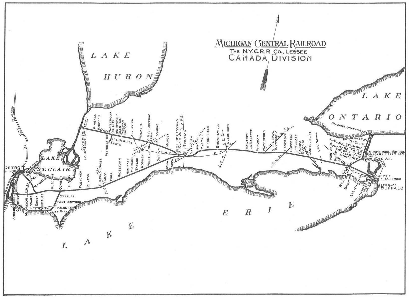
To give the poster a little background-the "Water Level Route" refers to the old New York Central main line between New York and Chicago. The line follows the Hudson River from New York to Albany, then swings west and passes through Schenectady, Utica, Rome, Syracuse and Rochester at roughly the level of Lake Ontario.

Further west the line parallels Lake Erie through Buffalo, Erie, Cleveland and Toledo before making its way west across the flatlands of western Ohio, Indiana and finally into Chicago.

The "Water Level Route" designation came from the days when the NYC and Pennsylvania Railroads were the prime competitors for New York-Chicago passenger traffic. (The Erie and the Lackawanna/Nickel Plate were lesser players in this.) New York Central executives advertised the Water Level Route as a much smoother ride for Pullman passengers than that of the PRR who had to cross the Alleghenies.

I've been wrong before, but I thought the connection in Buffalo was with the Canadian Pacific. (In the old days, via the Toronto, Hamilton and Buffalo.)

Last September I made a journey from New Carrollton, MD to Erie, PA following this route as far as Buffalo.

You can find radio frequencies in the Radio forum. Use the thread titled "Looking for a railroad radio frequency? Check this first!"

http://www.railroad.net/forums/viewtopic.php?t=15908

For the timetable, simply go to the Amtrak website:

http://www.amtrak.com

I had enough information to keep my BC60XLT active the entire trip.

  by LCJ
 
I've been wrong before, but I thought the connection in Buffalo was with the Canadian Pacific. (In the old days, via the Toronto, Hamilton and Buffalo.)
Actually, I believe it was Canada Southern, which was part of the New York Central System. It remained part of the system up through Conrail days when it was sold off.

  by Aa3rt
 
Granted, the NYC had its own route into Canada with the Canada Sounthern-however, this line ran west to Detroit.

http://www.canadasouthern.com/caso/images/map-caso.jpg

This line is no longer in existence. See:

http://www.canadasouthern.com/caso/home.htm

So how are current day passenger trains routed from Buffalo to Toronto?

gprim1-Here's more information on Amtrak frequencies:

http://www.on-track-on-line.com/amtrak-freqs.shtml

  by gprimr1
 
They use a duel mode bridge that the bottom is reserved for some Cross Border program.

The boarder people are telling Amtrak to either fix the bridge, or pull the Maple Leaf.

  by EMTRailfan
 
I'm fairly certain that passenger trains to Toronto go through Niagara Falls, NY and across to NF, Canada. After that, I'm not sure whether Amtrak makes a connection with Via Rail to go on to Toronto, or if Amtrak goes the whole way. Irregardless, they would have to stop at either NF station, pending direction, to go through Customs, wouldn't they?

  by rocketman
 
Look this up on the internet? This is brand new info as of a couple weeks ago.
Well I suppose this is a little late in this case, but the Selkirk, Hudson, Mohawk, Rochester and Buffalo Terminal are all NOW channel (46) 160.800?. The Dispatchers all have their own seperate channel. The NC Disp. which is the Hudson and the Selkirk Subs channel is 64. The ND (Mohawk) CP 175 - CP 296 disp channel is 52, the Rochester (296 - 434) is 58.

  by lakeshoredave
 
160.800 is the road channel from Selkirk to Buffalo on CSX.

160.935 and 161.415 are the 2 road channels for CN in Southern Ontario that I've used and had a lot of success with, especially when I went railfanning last summer at Bayview Jct in Hamilton.

  by gprimr1
 
I noticed one of the defect detectors now says "CSX" and not "Conrail" just west of Rochester.

  by Conrail4evr
 
gprimr1 wrote:I noticed one of the defect detectors now says "CSX" and not "Conrail" just west of Rochester.
Batavia...the one and only CSX detector between Frontier and Selkirk.

  by lakeshoredave
 
That Batavia HBD is very strong. I've picked it up on foggy days between CP-15 and CP-5 west of Buffalo. Also it seems like CSX has jacked up the antennas on the Irving and Angola detectors, as I've been able to pull them in from further away. Bayview is always a good bet considering its very close to Lake Erie, and its on a slight hill.


Lakeshore Dave