• Vintage High Res Pictures Discussion

  • Discussion relating to commuter rail, light rail, and subway operations of the MBTA.
Discussion relating to commuter rail, light rail, and subway operations of the MBTA.

Moderators: sery2831, CRail

  by Cosmo
 
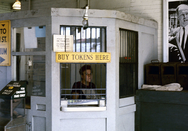
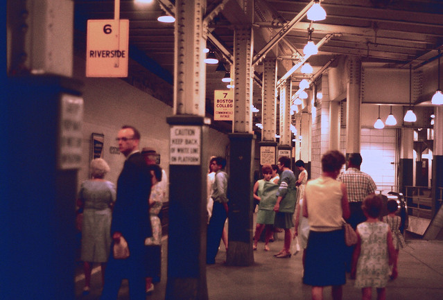
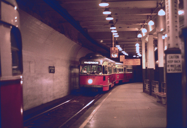
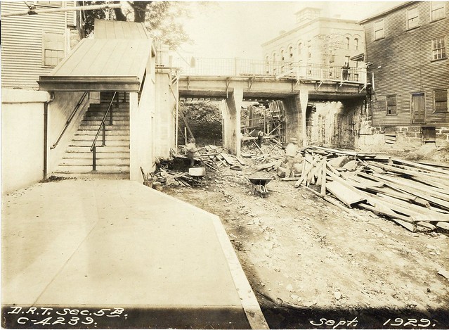
From the looks of it, I'd say we're looking at the Medway Street bridge.
  by Leo Sullivan
 
Remember,
Four tracks Dorchester Ave. to Harrison Sq., two tracks Harrison to Shawmut Jct. and
single track Shawmut Jct to Mattapan.
LS
  by WatertownCarBarn
 
Perhaps looking at the old pictures of Ashmont Station, is that the station we are looking at through the bridge?
  by Leo Sullivan
 
You are correct. There was nothing else like those Ashmont Stairs on the Shawmut Branch.
LS
  by MBTA3247
 
Would that mean the bridge is carrying Dorchester Ave? I thought that crossed the tracks at grade.
  by WatertownCarBarn
 
Leo would know for certain, but Ward's map for 1910 has the tracks below grade.
  by Leo Sullivan
 
I checked all the atlases I could find (look at "Dorchester Athenaeum" for atlases maps etc.)
Before 1884 the maps are not good enough to be sure but from then on it is very clear
that the tracks were below grade. From then on they also show the RR station crosswise
above the tracks. I am posting a not so good picture of the old station.
It was right where the Englewood Diner was much later.
Leo S.
Ashmont 1894 - copy.jpg
  by Adams_Umass_Boston
 
Here are 3 old shots of Government Center in 1967.

I love the grumpy Token Booth Worker. The photo is labeled GC, but is it? I think the Yellow sign might be giving directions to a stadium.


Image
Image
Image
  by Leo Sullivan
 
Found another one that is too good not to post as a "where is it".
If you know, let them post a few guesses first.
LS
  by highgreen215
 
With that island, I would say Columbia Road not too far from Blue Hill Avenue - maybe the corner of Columbia Road and Washington Street or Talbot Avenue.
  by Leo Sullivan
 
Actually, I posted it because it is a bit tricky. The car is correctly signed but would not
normally pass that location. The reroute was in effect for a few months and involved
a lengthy section of temporary track (on which this car is seen). I believe the
picture was taken to illustrate the difficulty of boarding at that location.
LS
  by Charliemta
 
Here is the portal that was on Cambridge Street in the West End, near Joy Street. The portal was in existence until the 1950's when the Orient Heights Blue line yard was built, and the portal was no longer needed for Blue Line cars to be towed to the Red Line on Longfellow Bridge, to use the Elliot Yard at Brattle Square.

I'd like to see it re-opened, and an elevated 2-track line ramp up from the re-opened portal up to the Charles Street Station, to serve as the Red-Blue Connector.

Image
  • 1
  • 32
  • 33
  • 34
  • 35
  • 36
  • 43