Railroad Forums
Vintage High Res Pictures Discussion
- Discussion relating to commuter rail, light rail, and subway operations of the MBTA.
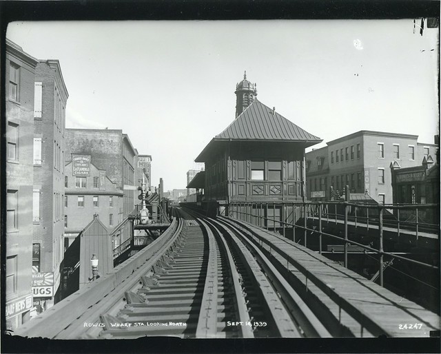 Rowe's Wharf station looking north by City of Boston Archives, on Flickr
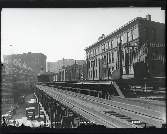 Rowe's Wharf station looking south by City of Boston Archives, on Flickr
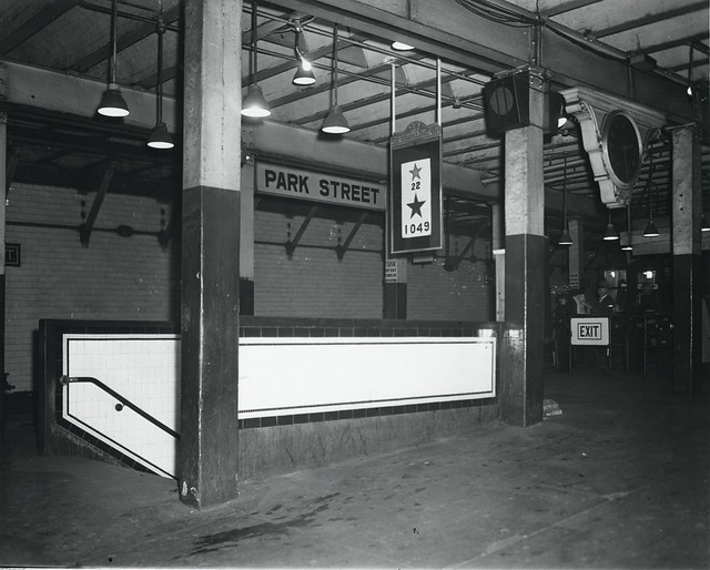 Park Street station by City of Boston Archives, on Flickr
 Huntington Avenue at Opera Place by City of Boston Archives, on Flickr
 Beacon Street at Saint Mary's Street by City of Boston Archives, on Flickr
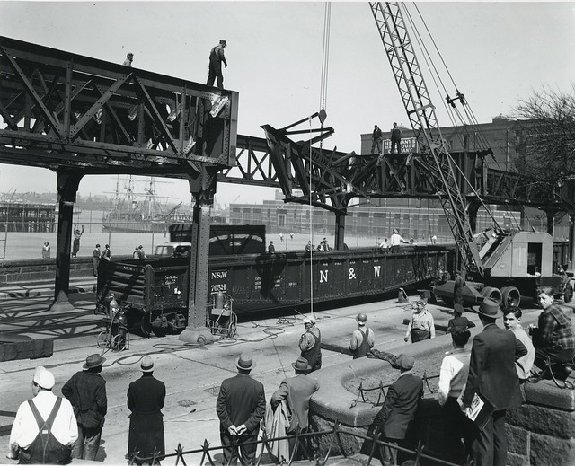 First steel to be removed from Atlantic Avenue El, Commercial Street by City of Boston Archives, on Flickr
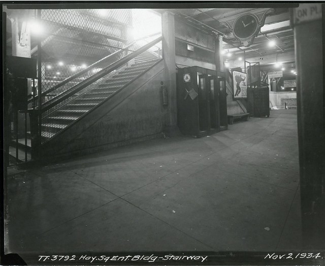 Haymarket Square entrance of building, stairway by City of Boston Archives, on Flickr
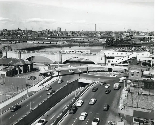 Science Park station by City of Boston Archives, on Flickr
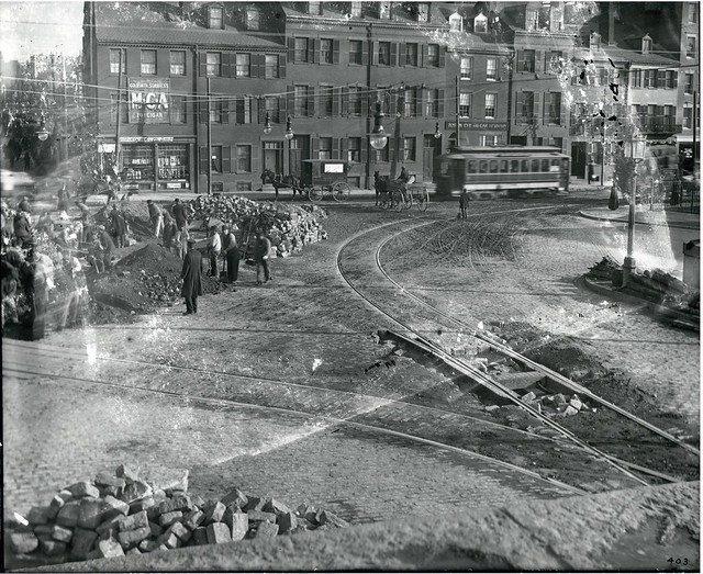 Charles Street at Cambridge Street by City of Boston Archives, on Flickr
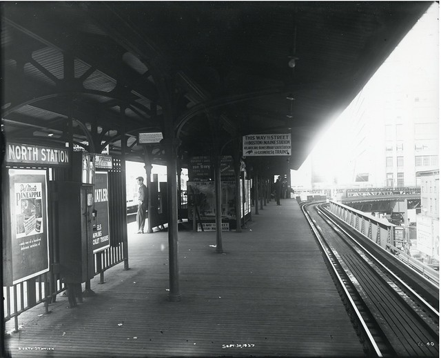 North Station by City of Boston Archives, on Flickr
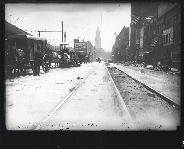 Canal Street progress view, south from Causeway Street by City of Boston Archives, on Flickr
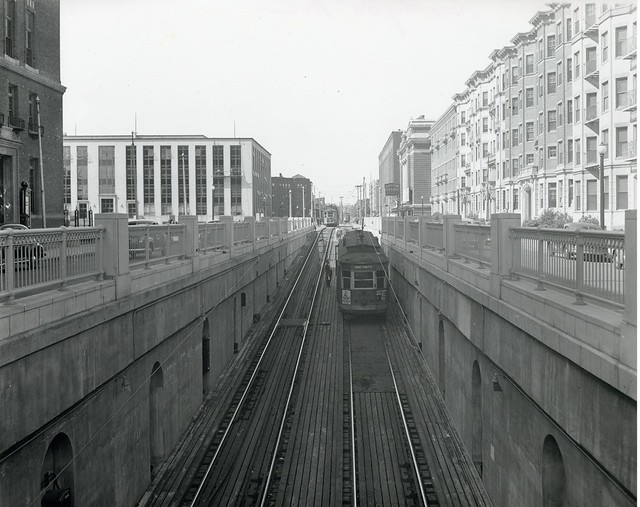 Huntington Avenue by City of Boston Archives, on Flickr
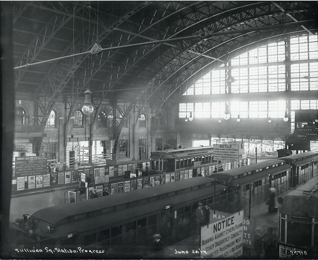 Sullivan Square station progress by City of Boston Archives, on Flickr
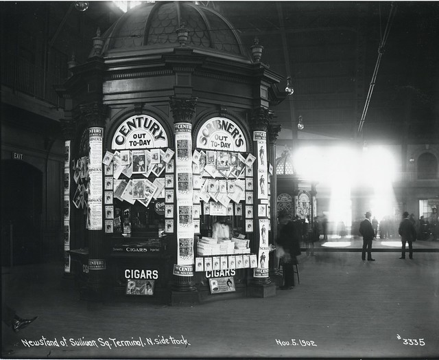 Newsstand at Sullivan Square terminal, north side track by City of Boston Archives, on Flickr
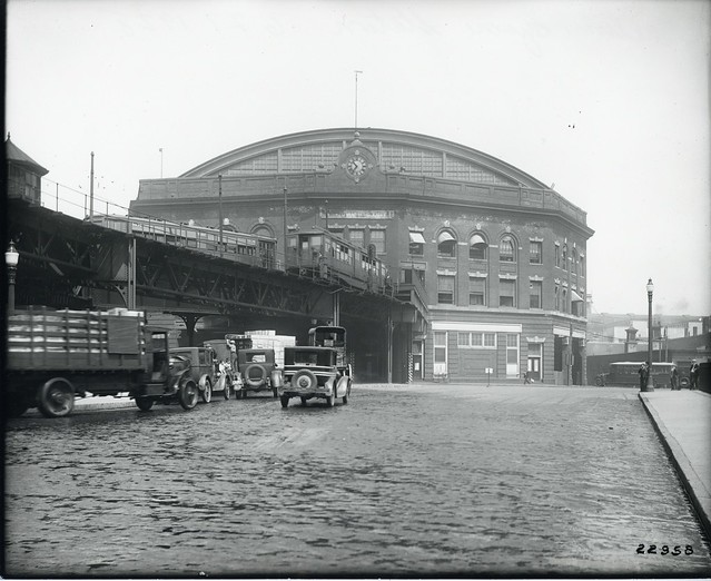 Sullivan Square station by City of Boston Archives, on Flickr
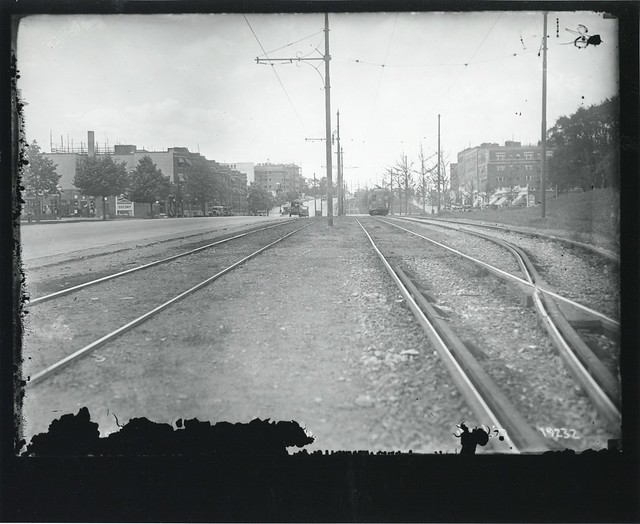 Commonwealth Avenue, Brighton by City of Boston Archives, on Flickr
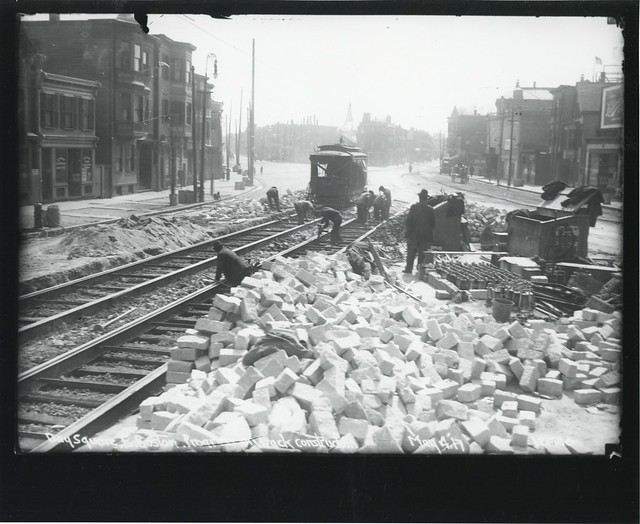 Day Square, East Boston, progress of track construction by City of Boston Archives, on Flickr
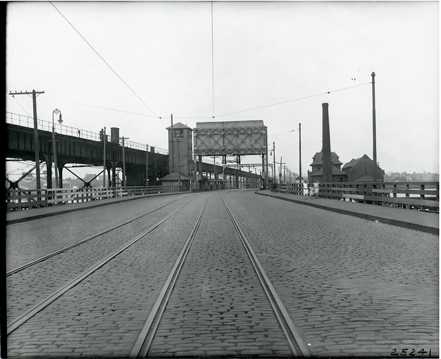 Alford Street bridge by City of Boston Archives, on Flickr
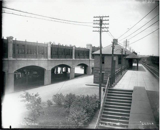 Forest Hills station by City of Boston Archives, on Flickr
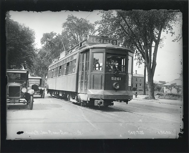 South Street, Jamaica Plain, near Rosemary Street by City of Boston Archives, on Flickr
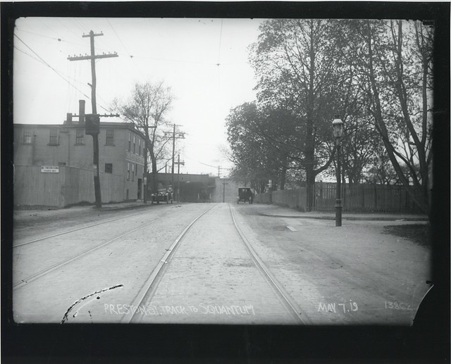 Preston Street track to Squantum by City of Boston Archives, on Flickr
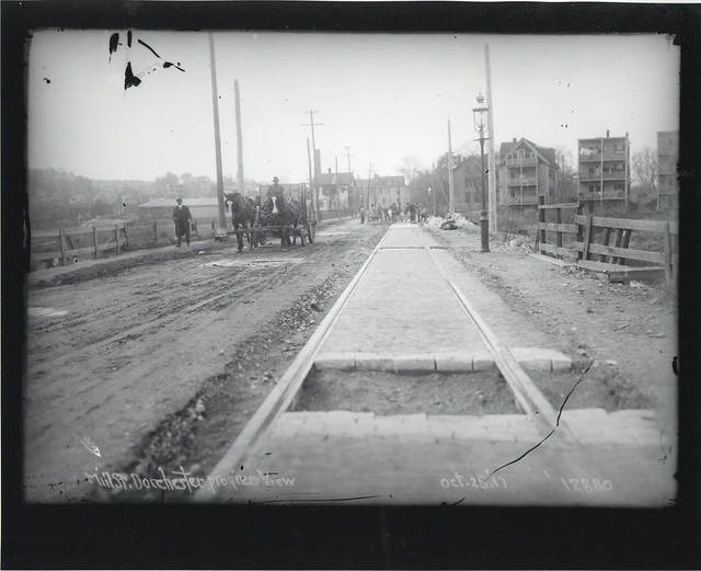 Mill Street, Dorchester, progress view by City of Boston Archives, on Flickr
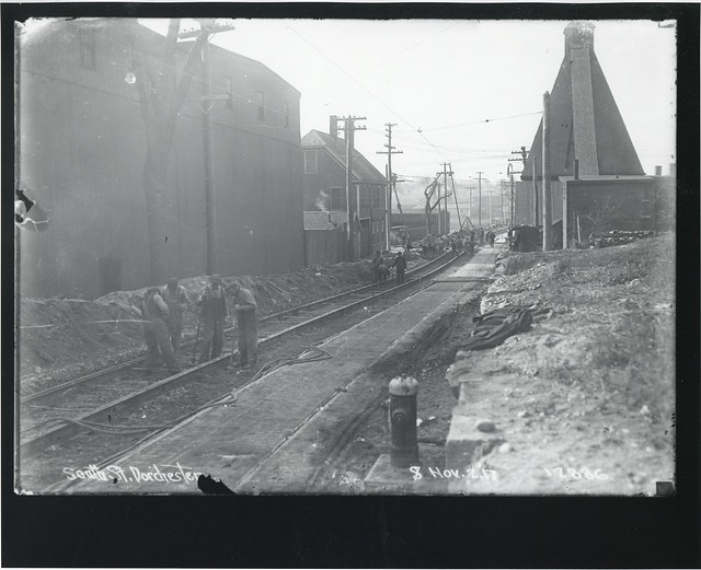 South Street, Dorchester by City of Boston Archives, on Flickr
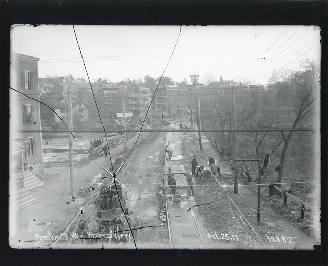 Preston Street, westerly progress view by City of Boston Archives, on Flickr
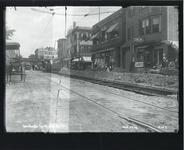 Dorchester Avenue north of Fields Corner by City of Boston Archives, on Flickr
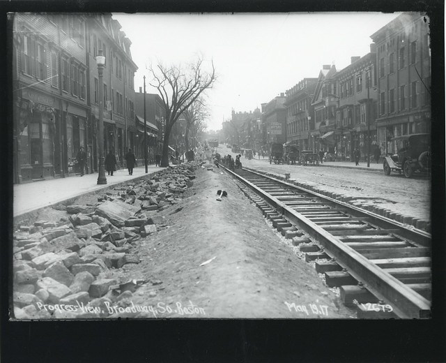 Progress view, Broadway, South Boston by City of Boston Archives, on Flickr
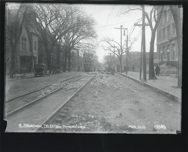 East Broadway, South Boston, progress view by City of Boston Archives, on Flickr
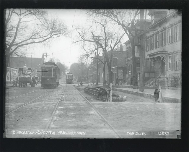 East Broadway, South Boston, progress view by City of Boston Archives, on Flickr
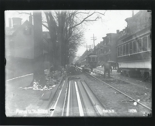 Fourth Street, South Boston by City of Boston Archives, on Flickr
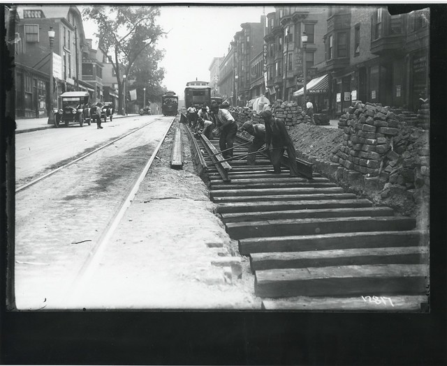 West Broadway by City of Boston Archives, on Flickr
As seen above, the Boston City Archives uploaded some more vintages shots.
Enjoy.
Enjoy.
Great shots as usual - thanx for posting them.
Interesting trackage on Beacon at St. Mary Street. They still retained a surface connection. Was the Squantum trackage the connection to the airfield?
Interesting trackage on Beacon at St. Mary Street. They still retained a surface connection. Was the Squantum trackage the connection to the airfield?
Interesting trackage on Beacon at St. Mary Street. They still retained a surface connection.I wonder if that is from right after the opening of the tunnel and the street trackage is a remnant of a shoe-fly built during construction.
Just a guess.
Stephen
Yes, that is almost certainly the case.

Not a picture, but it this thread was the closest in relevancy.
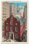
Vintage postcard.
Vintage postcard.
That almost looks like what New Haven station looks like today.
Funny enough, the new terminal is much closer to that in looks and space.
Here is another cool postcard.
Has anyone ever heard of this 1888 proposed route between North Station and NYC? I stumbled on this 1888 map at https://commons.wikimedia.org/wiki/File ... _route.jpg
Here is am excerpt from the map. The red line running through western Brookline and East Cambridge is the proposed route. Anyone know the history of this?

Here is am excerpt from the map. The red line running through western Brookline and East Cambridge is the proposed route. Anyone know the history of this?
"The penny candy store beyond the El
is where i first fell in love
with unreality.....
Outside the leaves were falling as they died.
A wind had blown away the sun."
----Lawrence Ferlinghetti
is where i first fell in love
with unreality.....
Outside the leaves were falling as they died.
A wind had blown away the sun."
----Lawrence Ferlinghetti
New York and Boston Rapid Transit Company - a short lived scheme to create a "rapid transit" line (i.e, an express railroad intended for passenger service with little freight, not the modern meaning). Would have gone through Willimantic, paralleled the New Haven towards NYC, and ran down the west side of Central Park to 59th Street. Never even started construction, so there's no remains to be found.