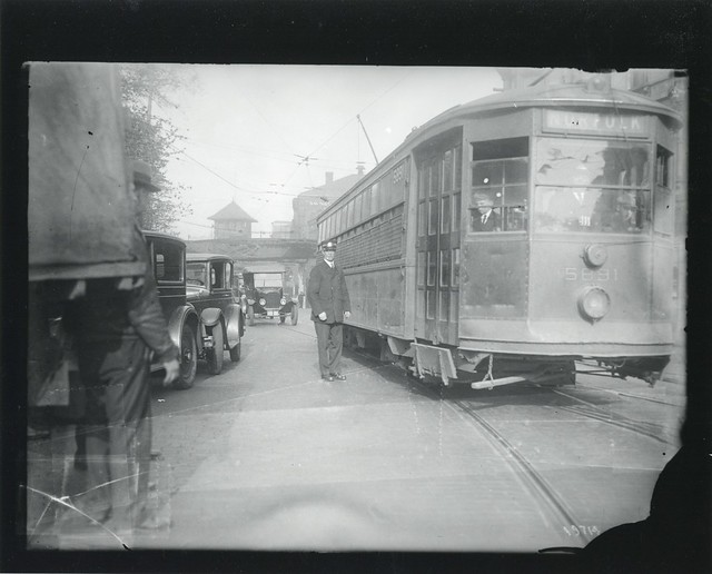
[quote]Easy access car (new) Ipswich Street line. Type 3 5115 at Public Gardens subway entrance, brand new. Pheasant blue and white, gold striping, gray roof by City of Boston Archives, on Flickr{/quote]
Nice description, except that it was "Peacock Blue" and not used after the retirement of the last horsecars in 1900. Try yellow with silver trim, the standard for Division 2.
5122 color.pdf
Gerry. STM/BSRA
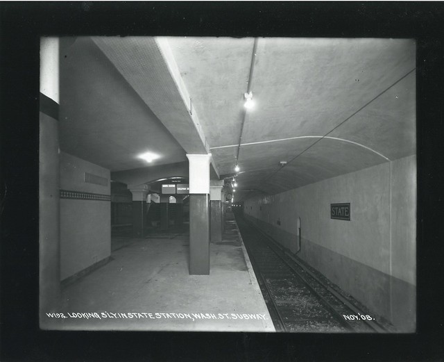
The next stop is Washington. Change for Forest Hills Trains on the Winter St. Platform, and Everett Trains on the Summer St. Platform. This is an Ashmont train, change for Braintree at Columbia.