Railroad Forums 

  • Trails on former LV ROW -

  • Discussion related to the Lehigh Valley Railroad and predecessors for the period 1846-1976. Originally incorporated as the Delaware, Lehigh, Schuylkill and Susquehanna Railroad Company.
Discussion related to the Lehigh Valley Railroad and predecessors for the period 1846-1976. Originally incorporated as the Delaware, Lehigh, Schuylkill and Susquehanna Railroad Company.

Moderator: scottychaos

 #531669  by lvrr325
 
I thought this might be a topic that might make a good sticky thread. What trails have been built on former LV right-of-way?

New York:

Cazenovia-Canastota, former EC&N, Madison County
Dryden area, former LO&NY, Thompkins County
Cato-Sterling, former LO&NY, Cayuga County
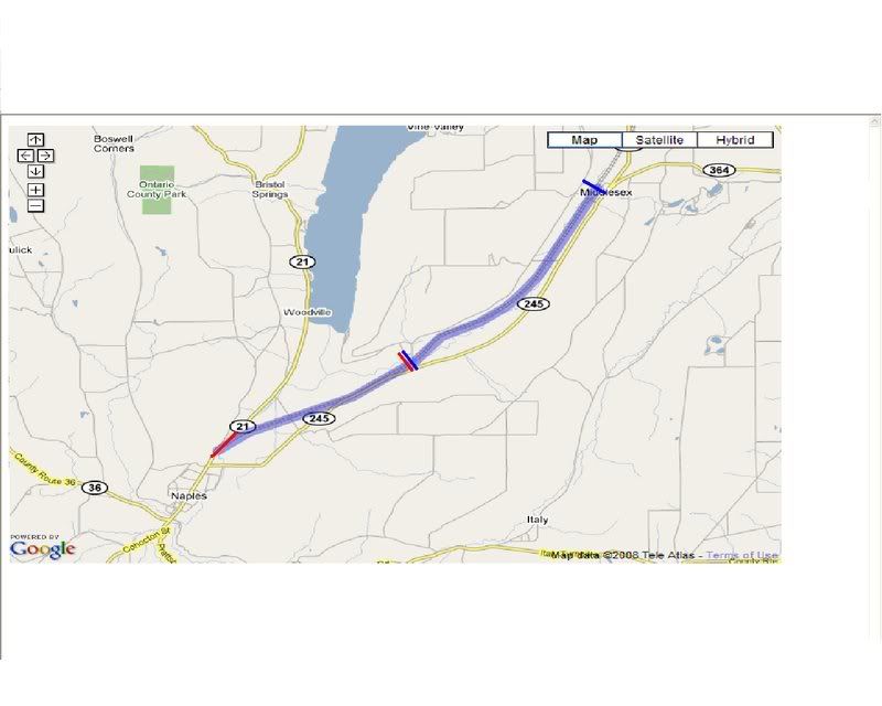
Main line, Monroe County


Any others? The former EC&N east of Ithaca appears to be a trail but I don't know that it's public.

 #531744  by AdamCKach
 
Pennsylvania:

LV Bowman's Creek Branch from roughly Luzerne to roughly (I believe the stretch has just been opened) Dallas, PA. In addition, the portion that runs through Ricketts Glen State Park, roughly from Noxen, PA to Lopez, PA, is open.

 #531757  by Lehighton_Man
 
the Naples Branch is partly open to bicyclists from the DEC boat launch on west river to Rt. 21 before Naples. All other parts that i know of are overgrown, or private property.
(beware: this is NOT a paved or stoned trail)
Cheers.
Sean

 #531772  by RussNelson
 
Wow, well, there's a ton of them:

http://rutlandtrail.org/gmap.cgi?Gorge-Trail.railtrail
http://rutlandtrail.org/gmap.cgi?Lehigh ... .railtrail
http://rutlandtrail.org/gmap.cgi?Cato-F ... .railtrail
http://rutlandtrail.org/gmap.cgi?Auburn ... .railtrail
http://rutlandtrail.org/gmap.cgi?Jim-Sc ... .railtrail
http://rutlandtrail.org/gmap.cgi?Lehigh ... .railtrail

The Dryden trail is the Jim Schug (town supervisor who championed the trail). The Cato-Sterling trail is the Cato-Fair-Haven trail. Not sure if the Gorge Trail is what you mean by Cazenovia-Canastota. Is the Main line the Lehigh Valley Linear Trail?

 #531941  by Lehighton_Man
 
Well, Russ, thats the planned idea for the Lehigh Valley Rail-Trail, except, only half of that is an actual trail.
Cheers.
Sean

 #532026  by dj_paige
 
Most of the Lehigh Valley Rochester Branch is now a rail trail. It has to detour where the active rail still exists between Mortimer and just south of Lehigh Station Rd.

 #532063  by RussNelson
 
Lehighton_Man wrote:Well, Russ, thats the planned idea for the Lehigh Valley Rail-Trail, except, only half of that is an actual trail.
Can you tell me more? Of the part that is trail, what is the surface? Of the part that isn't trail, what is its surface? Ownership? Posted?
 #532369  by scavenger33
 
The Perth Amboy branch is owned by Middlesex county and much of it has been converted to a trail.

 #532450  by Anchorman
 
Cheektowaga is almost done with building their trail in Western New York. Runs on the Lehigh and Lake Erie branch at Dingens St. Park, goes through Tifft Junction and runs east until Union Rd., not quite to Niagara Junction. They're putting up a nice stockade fence now between it and the NS Bison yard then they just have to pave it. I'd guess it should be done by this summer.

 #532487  by Lehighton_Man
 
Yeah, NP Russ..
Image
Between the 2 red lines is the open trail to bicyclists. It is not a paved or stoned trail. All bridges intact. Property is maintained by the DEC. To get on the Trail, once you've Passed Middlesex on rt. 245 South to naples, go to you see a sign that says 'Hightor wildlife managment area" which is a boat-launch to West River. The trail is blocked mainly by a vehicle gate, a simple pole gate. The only vehicles allowed are bicycles.
From the 2 Blue Lines, that is the closed "planned" trail section. Weedy, Overgrown, impossible to even walk along it. Surprisingly, as far as i know, all the bridges between Middlesex and Naples are still standing, being a good 136yrs old. All the land north of the Boat Launch, is privately owned, and some of it is part of a cow pasture!
But thanks for your interest.
Sean

 #532615  by scottychaos
 
That Naples trail, from route 21 north, is a nightmare to ride..(bicycle)
bumpy, wet, lots of mosquitoes, very rough..
not a good bicycling trail at all...

unless something changes, I wont try it again! :(

Scot

 #532629  by RussNelson
 
Thanks, Sean, I've fixed the linked map.

 #532763  by bwparker1
 
scottychaos wrote:That Naples trail, from route 21 north, is a nightmare to ride..(bicycle)
bumpy, wet, lots of mosquitoes, very rough..
not a good bicycling trail at all...

unless something changes, I wont try it again! :(

Scot
AGREED!

 #532893  by Lehighton_Man
 
well, dont expect changes. in a small community, like this, news like that would spread far, ( i live in Middlesex, :-P) so, its nothing new. and i wont guarentee any changes any time soon. But, its always fun to go walking in the more dense parts of the bed. Proves the Valley and Conrail didnt do a very good job taking some of those things up. a buddy of mine recently walked it and found an old whistle post, laying on its side in the mud. Quite a rare find if you ask me.
Also to boot the fact that the lights and signage that were in Middlesex were up until 79' but connected to nothing! haha.
Cheers.
Sean

 #532909  by RussNelson
 
scottychaos wrote:That Naples trail, from route 21 north, is a nightmare to ride..(bicycle)
bumpy, wet, lots of mosquitoes, very rough..
not a good bicycling trail at all...
Are the ties still in place? Cuz the Bog Meadow Trail still has the ties, and they make for REALLY rotten riding. Your bike tires fit down in-between the ties and so your bike is constantly wanting to come to a sudden stop. I walked over the worst parts, which was most of the trail.
http://blog.russnelson.com/bicycling/1208646440.html
And as for wet, I offer these:
http://flickr.com/search/?w=63051795@N0 ... ail&m=tags
and I still count it as a good trail.