Carter,
I'll try my best to describe what is where. If your coming up Edison road from Ogdensburg, There is a parking lot on the left hand side of the road. If you park here there is a granite marker with some pictures and a plaque on it. Find the trail behind this marker and walk away from the parking lot. The first thing you will come to is a mine shaft filled to the top with water, This is the shaft with the sign in front of it stating that the shaft is 86 feet deep. Keep walking a few more yards and you will be under some power lines. In this area, you will find the stone lined trenches, with water in them, On the top of these trenches are several threaded rods sticking out where machinery of some kind was once mounted. I think this might have been a power house?? Anyway if you walk up and down the power line ROW, there are several foundations, and other man made stone lined ramps and such. Keep walking on the trail away from the lot on the other side of the power lines and you can easily find the water filled tunnels. I believe that this was a horizontal iron mine and that it's all one tunnel but there are several openings to it. The openings are all fenced in but, you can see them well. Continue on down the trail, and you will soon see a flooded area that looks almost like a river. It's very long and thin, This is the start of what I called the rear iron ore pit. As you walk down this trail, it starts to go up hill. The water filled pit will be on your right. As you go further on the other side of the water, the pit opens up deeper but is at a higher level and parts if it are dry. When I got to the end of the flooded section of the pit, I made a right around the back of the pit. Here I found what I called the mine dump. It's very large and is clearly waste rock in piles. On the far side of this dump up a small hill is another old road or trail. When I got here I made another right. I was now heading back toward the parking lot but on the other side of the pit. Along this trail, there is a fence around the deep section of the pit. When you get to the fence, walk along it back toward the dump, and it comes to a point. There is a hole in the fence here you can walk through to see the inside of the pit. There are several deep trenches here so you need to be careful. Back along the trail, further down there is another hole in the fence, If you go through here you come out on a solid rock wall of sorts. The pit is kind of divided in two sections by this wall. Some of the pit is filled with water that is rust colored near the walls due to the iron in the stone. The entire rock wall your standing on was drilled for blasting. I have no clue why this wall was left. Back on the trail again walking back toward the power lines, you are at a much higher level than the first trail. When you get to the end of the pit, you will start to come back down, In this area, if you walk around, you will find the mine shafts that go straight down. They are surrounded by fences but you can get inside them easily. Once back in the parking lot, on the other side from the marker, you will see an open field with sand in the center. This is where the main part of the plant was. Walk into this field and go to the right near the sand. There is a short, steep hill that has been worn down by motorcycles. Walk up that hill and you are now on the RR ROW. Turn away from the parking lot and walk up the ROW. Several yards up you will see at least two rows of ties, a few foundations, rock walls, and two concrete blocks with very old rail cut off at the top of them. This is the area I called the RR yard. It's easy to find. I then walked further up the ROW. It's built on a pretty high fill here, On the left is a swamp and to the right there is a small pit that I will get back to later. If you follow the ROW further you will get back to Edison road. Cross the road to see the deep stone cut. There are cinders, coal pieces of all sizes, and chunks of ore all along the ROW.
Back on Edison road, walk back toward the lot, there are several foundations for the conveyors on the left side. On the right side, right next to the road you will see a man made raised section of ground, lined by stone walls. Climb up on this and walk in. You will be heading back toward the RR ROW now. After a few yards, You will come to a stone lined trench about 5 feet deep and 4-5 feet wide, look across and you will see two more. They are about 20 feet apart and are at least 50 yards long. They end at the Pit I mentioned earlier. I don't have a clue what these were used for. I thought there might have been some kind of machine in the pit to load the RR cars, but I'm not sure.
Back out on the road, across from the parking lot is another deep pit surrounded by a fence. This is the pit I called the Horseshoe pit. I have seen it called this in books and on web sites. On the side of this pit is a dirt road, There was once a gate across the road but it's now smashed all to hell. Walk up that road and then toward the fence, there are a bunch of small foundations and rock walls here. If you walk up hill along this fence up near the end of the pit someone has a log wedged under the fence. You can easily bend under the fence and go in. This is where I found the Iron clasp looking things sticking out of the ground. There are lots of trees growing in this pit and some of it is filled with water, so It's kind of hard to see down it. The pit is kind of "V" shaped (horse shoe) and you can walk right out to the end with the pit on both sides. This is all I saw when I was there. I'm sure there is more. From the pictures I have seen there were several houses build on the hill behind the main plant for workers. This area is either along the power lines or behind the field near the parking lot. I didn't look behind the mine dump and, I also didn't explore the other side of the horse shoe pit, So I don't know if anything is on that side.
I hope some of this made sense, It's truly a great place to explore.
Does anyone know when the place was torn down? Did Edison do it, or was it torn down later. What I find strange for such a big place that was closed so long ago is that, Other than some bricks here and there, There is not one wall of any building left anywhere in the entire complex other than stone foundations. I have seen pictures of some of the buldings and the walls were made of stone. None of this is left. The entire place was knocked down and either burried or carted away. This seems strange to me judging by some of the other abandand sites around, like Franklyn mines and such, where there are still buildings left.
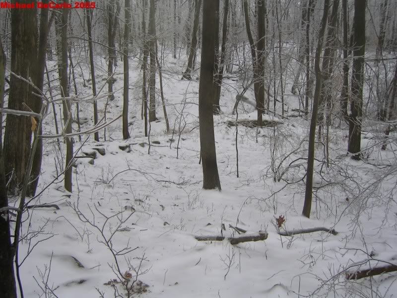
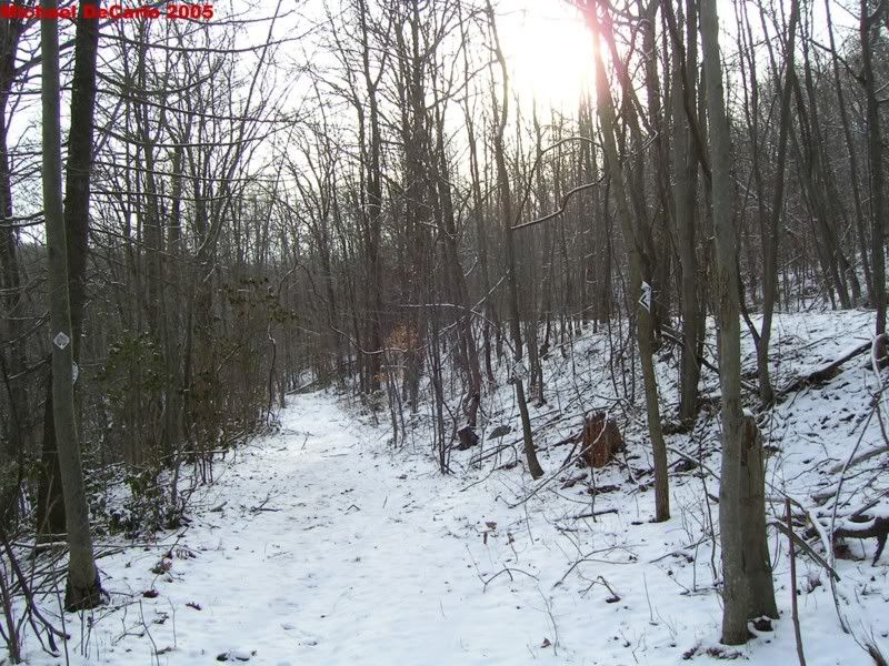
Here's a few more pics, Sorry they are so big.