Railroad Forums 

  • Webster/Dudley and Southbridge, MA

  • Pertaining to all railroading subjects, past and present, in New England
Pertaining to all railroading subjects, past and present, in New England

Moderators: MEC407, NHN503

 #1380630  by b&m 1566
 
Just trying to get more familiar with the lines that traversed the area.
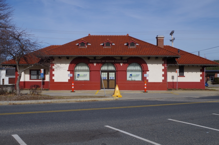
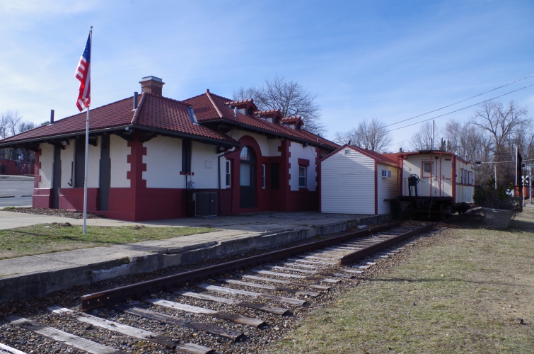
The B&A had a branch that started in the location of Hardscrabble Rd. in Auburn, MA. Much of the ROW is unrecognizable today. I have seen many sections in person and have traced the entire line, down into Webster. When was this line abandoned? Until recently, I was never aware how clustered Webster was with different rail lines during it's heyday.
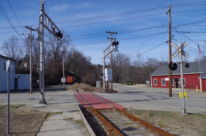
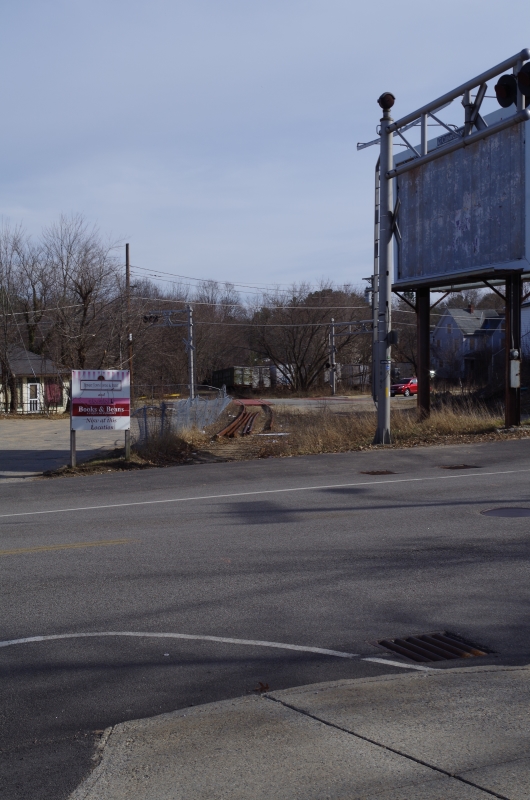
When looking at old aerial photos of the area, I notices this line didn't just end in Webster joining in with a line still in use today. Just north of the intersection of Pine St and Oxford Ave, I notice another line turning to the west and I traced it to Southbridge. I never knew Southbridge had two different lines at one time.
Does anyone have more information they can share on this area?
 #1380641  by F-line to Dudley via Park
 
Southbridge had a NYNH&H branchline that lasted till 2004 under P&W: the Southbridge Secondary. MassDOT now owns it landbanked in MA, P&W still owns it in CT and is trying to get CDOT to buy it from them. Tracks are still in the ground the whole length of it, switch still connected to the Groton mainline in eyesight of the Hill St. grade crossing in Webster. The branch used to continue east of Webster to Thompson, CT joining the Air Line. 1929 NYNH&H system map: http://www.middletownplanning.com/image ... il_Map.gif" onclick="window.open(this.href);return false;. Webster-Thompson leg was abandoned during the Depression.

The B&A branch did have both a junction with the current P&W/ex-NYNH&H main, but also a diamond that crossed no more than a half-mile further north for a small spur to East Village. 1956 B&A system map here: https://upload.wikimedia.org/wikipedia/ ... 29_Map.png" onclick="window.open(this.href);return false;. Appears that one was gone by the time Penn Central took over in '67.

There's also the grading for the never-finished Southern New England Railway that was to link the Central Vermont @ Palmer with Providence. The grading for that passes through Webster, Southbridge, and Brimfield en route to Palmer: https://commons.wikimedia.org/wiki/Cate ... NE_map.png" onclick="window.open(this.href);return false;. Construction stopped soon after Grand Trunk's company president died aboard the Titanic.
 #1380653  by elecuyer
 
F-line to Dudley via Park wrote:There's also the grading for the never-finished Southern New England Railway that was to link the Central Vermont @ Palmer with Providence. The grading for that passes through Webster, Southbridge, and Brimfield en route to Palmer: https://commons.wikimedia.org/wiki/Cate ... NE_map.png" onclick="window.open(this.href);return false;. Construction stopped soon after Grand Trunk's company president died aboard the Titanic.
Actually that is an oft-repeated myth. Construction of the Southern New England Railroad *started* after the Titanic disaster, despite the death of GT president Charles Melville Hays. It was canceled later apparently due to financial concerns. For more details, see "Titanic Railroad" by Larry Lowenthal.
 #1380659  by csor2010
 
F-line to Dudley via Park wrote:The B&A branch did have both a junction with the current P&W/ex-NYNH&H main, but also a diamond that crossed no more than a half-mile further north for a small spur to East Village. 1956 B&A system map here: https://upload.wikimedia.org/wikipedia/ ... 29_Map.png" onclick="window.open(this.href);return false;. Appears that one was gone by the time Penn Central took over in '67.
No diamond - it was this bridge, which remains standing today. It's one of the few structures remaining on the former B&A branch.
 #1380783  by NHBuddsN1P2M7M6
 
NHBuddsN1P2M7M6

For any railfan looking for information, regarding, the towns of Webster, Dudley or Southbridge, may I suggest that three copies of NHRHTA Shoreliner would be very beneficial, namely, Vol.21 Issue 2 1990, Webster on the N&W Branch, Vol.21 Issue 1 1990, 150th Anniversary of the Norwich & Worcester Branch and Vol 12 Issue 2 1981, Southbridge.
The articles are loaded with some great photos and solid information on the operations in these three towns. Check the NHRHTA site for back copies.
Webster - 1840 the Norwich & Worcester, 1860s Boston, Hartford & Erie, 1880s Providence, Webster & Springfield (B&A Spite Line) and in 1912-13-14 most of the grading for the Southern New England (Grand Trunk) would be completed, but no finished rail or trains would ever operate.
 #1385641  by jamoldover
 
csor2010 wrote:
F-line to Dudley via Park wrote:The B&A branch did have both a junction with the current P&W/ex-NYNH&H main, but also a diamond that crossed no more than a half-mile further north for a small spur to East Village. 1956 B&A system map here: https://upload.wikimedia.org/wikipedia/ ... 29_Map.png" onclick="window.open(this.href);return false;. Appears that one was gone by the time Penn Central took over in '67.
No diamond - it was this bridge, which remains standing today. It's one of the few structures remaining on the former B&A branch.
Also no junction, at least not while the B&A was operating the branch. B&A service ended in the 1950's after one of the major hurricanes (I forget the name at the moment). Parts of the line through Oxford were taken by the Corps of Engineers to build flood control dams, which forced the abandonment. Because there were still active customers on the south end of the line, the New Haven was given permission to build a connection and serve those customers from the Webster end. The B&A tracks were significantly higher, though, and the result was a fairly sharp grade that presented a number of operating difficulties.
 #1385694  by YamaOfParadise
 
For the B&A Webster Branch, I have taken some photos of it when I rooted around for traces of it; the four for that bridge on Bridgehunter are what I'd end up linking, though, so I have no more photos to post. It is pretty easy to get access to that bridge on the west side of the river. Other side is more difficult to get to and more sketchy, but I suppose it's still reachable.

As for the Southbridge Branch, I would say at least more than 75% of the rails are gone at this point; in the CT portion, P&W yanked them, and more or less all of the rails in the two MA sides are gone as well. There are a number of stretches where ties are still in place, but at a number of grade crossings the short brush completely overtaking the railbed and making it un-walkable from there (like the MA-12 grade crossing, where the cantilever is about the only thing left of the crossing). Other places when driving along that are under wooded canopy haven't fared so bad, though. On the Webster/Dudley end, a trail is supposed to be put in, don't know what it's caught up on, though. The station used by the Mass RMV is in beautiful shape, though.
Image
Image
North Crossing: Image
South Crossing: Image
 #1385700  by NHBuddsN1P2M7M6
 
Yama - Nice photo updates of Southbridge.
Regarding, passengers at the Southbridge station, the last regular service to Southbridge, summer of 1930. (Sykes car)
Passenger Extras would follow.
Freight service down the Southbridge Branch ended with a P&W move in December of 1984.
In the New Haven days, the Southbridge Local, back in the 40s was a six day a week job, with trains in the 20 car range, especially during the war.
In the 50s and 60s, the Webster-Southbridge Local (NX-36 / later BX-36) would see cut backs in service. Trips down the Southbridge Branch were cutback to a 5 day a week job (Mon.-Fri.), then a Mon.-Wed.-Fri., followed by a Tu.-Thur. service, and finally as needed.
 #1385709  by trainsinmaine
 
I very clearly remember crossing the ROW of the B&A's Webster Branch via an overpass on the old Route 12 in North Oxford, around 1968. The rails had just recently been ripped up, and the "Load Limit" signs for the bridge were still standing. I haven't been there since, and I imagine it's all gone now.
 #1385749  by NHBuddsN1P2M7M6
 
Trainsinmaine the overpass in North Oxford that you drove over was actually Route 56. Route 12 is about a quarter of a mile to the east of the overpass.

The Providence, Webster & Springfield RR ( the B&A's Webster Branch) only crossed Route 12 in one location, and that was in Webster on the East branch of the railroad. The East Branch crossed over the French River and the New Haven Norwich & Worcester Branch on a beautiful Pratt truss bridge and ran to Samuel Slater's original East Mill location, the site of Cranston Print and today's Webster Price Chopper location. Up until the 1960s, Cranston Print Works was Webster's largest employer. The bridge is now old and rusted, but still stands today.
If you go to Google Earth, and check out the area where Webster, Dudley and Oxford meet, you'll be able to identify the bridge location easily.

Locally, the Providence, Webster & Springfield RR was referred to as the "Spite Line". Samuel was long gone, but the Slater family still controlled 3 large mill complexes in Webster, and despite Webster already having two functioning railroads in the 1880s, the Slater's were not pleased with the service or rates, so they built their own railroad. The Slater's then arranged for the B&A operate their newly built railroad.
 #1398912  by NHBuddsN1P2M7M6
 
NHBuddsN!P2M7M6
Yama, nice post on the Providence, Webster & Springfield 1883 map.
Some key dates and locations you should be aware of. (1884-1886-1891-1955-1958)
Operations didn't begin until 1884, with initial end of the line being in Dudley at Slater's North Mill complex. A siding went directly in to the mill complex.
In 1886 the line was extended down to a section of Dudley known as Jericho on the Webster/Dudley line. The Stone House-Steven's Warehouse and the Passenger station are still both standing today at the 1886 end of line.
In the early 1900s, the B&A (P.W. &S.) built a Pratt truss bridge going over the French River and the Norwich & Worcester branch of what would become the New Haven, today's P&W over to Slater's East Mill Complex. The East Branch was only around a mile long, but the mills provided plenty of freight to handle. It crossed Bigelow Rd. on a bridge and followed the Mill Stream over to the mill, today's Price Chopper location, on Route #12. After crossing Route #12, it split into three tracks going to various parts of the mill. If you stand in today's Dollar Store parking lot looking north, it is easy to discern the RR grade near the cemetery.
As mentioned earlier the Flood of 1955 disrupted things bigtime, when the Army Corp built a couple of large dams in Oxford cutting off the approach from the B&A (NYC) mainline at Webster Junction.
In 1958 the NH actually built a connector from the lower New Haven yard up to upper B&A yard. Service up the connector actually survived the P&W takeover. There has been massive excavation in the area and trying to figure things out is just about impossible.
Suggestion: Go to the 1892 Panoramic Map of Webster (Lib. of Congress) and check out the far left side of the map which clearly shows the Pratt truss and the East Mill complex. If you follow the tracks you'll see the line dead ending near Oak and East Streets in Dudley. The 1892 map depicts all three of Slater's mill complexes.
 #1399090  by dbperry
 
daylight4449 wrote:So here's a good question... Are there any surviving maps of the old Webster Branch still lying around? I'm rather curious...
I think you're asking about historical maps, but i found http://www.openrailwaymap.org/" onclick="window.open(this.href);return false; to be helpful in understanding this thread - I'm not sure about the accuracy, but a lot of what is being talked about here is on there.
 #1399168  by NHBuddsN1P2M7M6
 
NHBuddsN1P2M7M6
Re: Daylight's question about old maps of the P.W. &S area and DBPerry's post on OPEN RAILWAY Map link

Daylight, if you have access to a Sanborn Fire Map of Webster from the teens or twenties of Webster that would work. You can find Sanborn's on E-Bay but they are expensive, and there are a number Digital versions available in a number of libraries that would help.

The suggestion by DBPerry of checking things out on Open Railway Map is a good one. I looked at the map this morning and representation of the railroads in the Webster area, including the P.W.&S RR East Branch is right on the money.

The Webster-Dudley area back in the day was a pretty neat and substantial railroad operation. You had the B&A and New Haven lines running north to Worcester, the line from East Thompson, CT approaching from the east, crossing the north-south running Norwich & Worcester Branch and then diverging to head west to Southbridge, and New Haven N&W Branch continuing south to Putnam. At Putnam all the way up until the 1955 Flood, the NH lines would continue south to all the way to Groton, CT joining the NH Shoreline or at Putnam station head west to Willimantic, CT.
The big boy operation in Webster was always the north-south running New Haven Norwich Branch (today's P&W). The New Haven used this line as a short cut for their Maine traffic. Freights like the Maine Bullet (M-7) and Yellow Dogs (Potato Extras) and passenger trains like the State of Maine and the East Wind all used the N&W Branch back in the day.

Lastly, on Open Railway Maps, the S.N.E. (Grand Trunk RR), Webster's 3/4 railroad is accurately mapped. The Southern New England line was graded and ready to go in the teens, but the SNE never saw permanent rail or trains operate. Larry Lowenthal's, Titanic Railroad is a terrific book on the subject matter.