by WQ59B
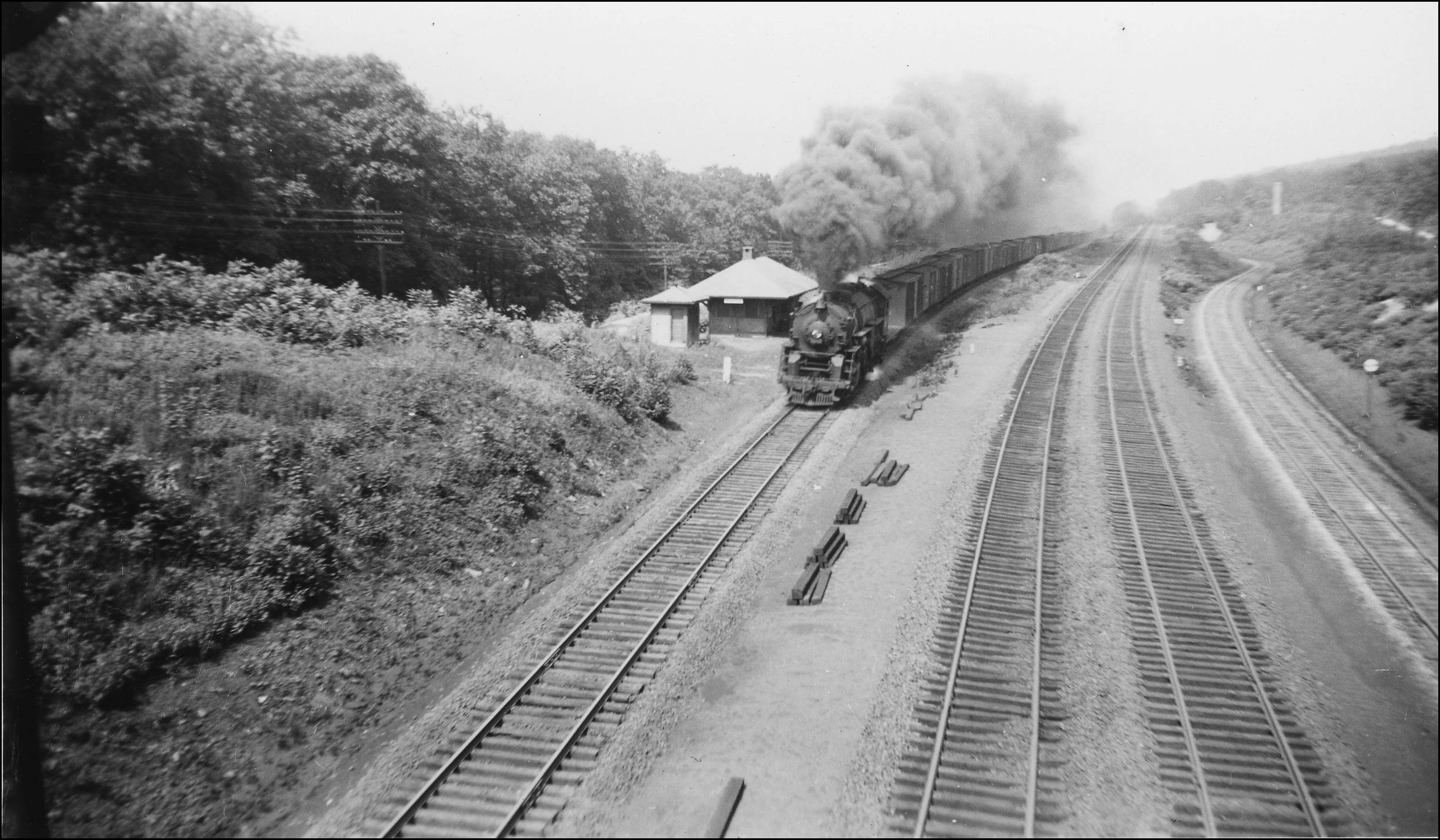
There was an intriquing layout at Graham (between Otisville & Port) in the ealy 1900s;
>> http://dukarm.railfan.net/Graham_29_1948.jpg <<
L to R : The original bed is the 2 middle lines (what I'm going to call tracks 2 & 3) that went up hill north into Otisville. Circa 1908 the new, lower-elevation line went in (far left: 'track 1') and thru the new Otisville tunnel. But there was a 4th track (far right, 'track 4') that curved off to the right, running under the original elevation, then curving back to pair with the track 1.
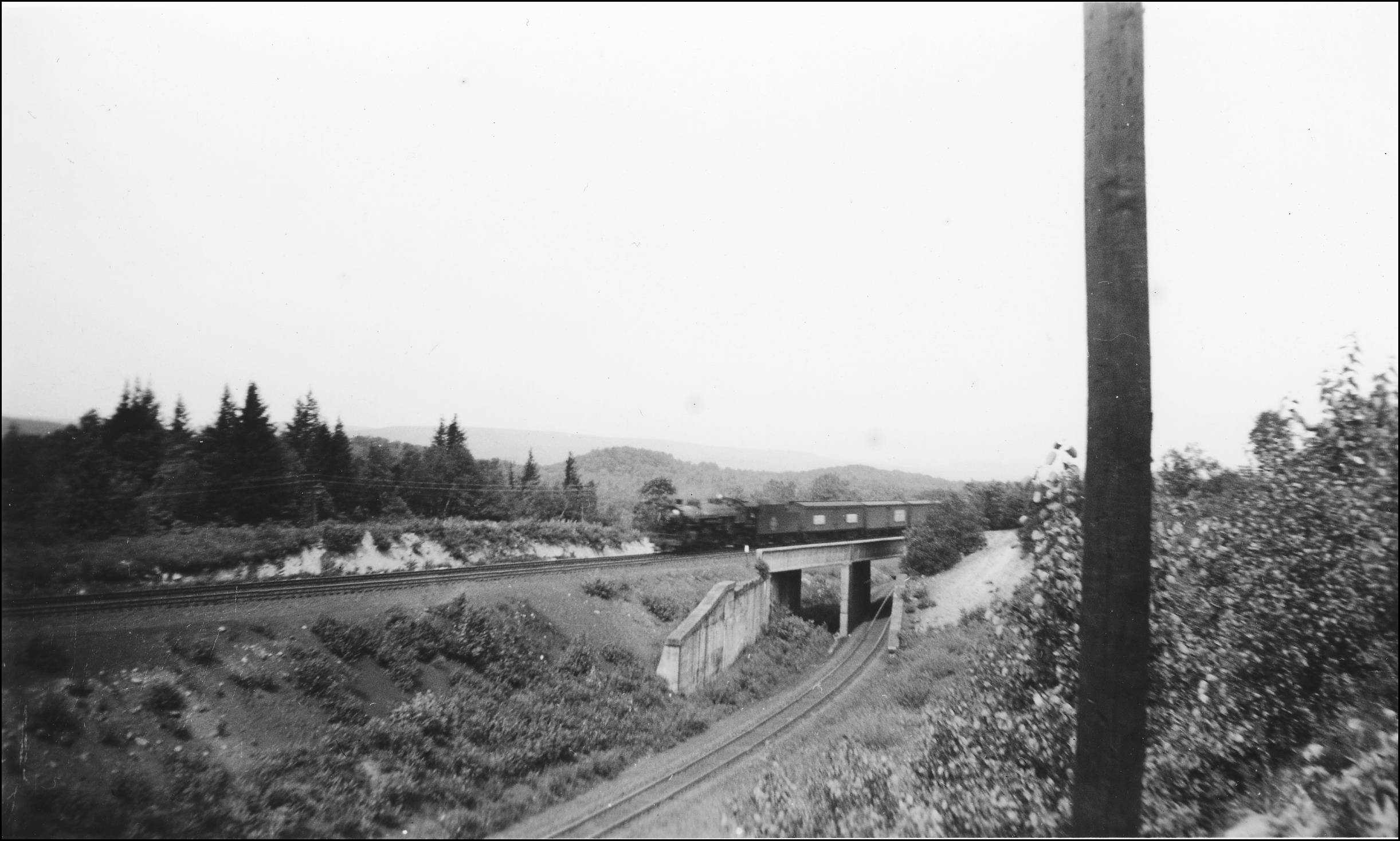
>> http://dukarm.railfan.net/Graham_7_1948.jpg <<
At least that's my assumption, since the Otisville Tunnel clearly is wide enough for 2 tracks. I've looked thru the gallery where the above 2 pics came from thoroughly, and what I'd like to further learn is the specific track layout WRT switches both north & south of this area. ANother pic shows 3 tracks running south, at least thru the first curve south of Graham. Does anyone have any schematics for this era / area or can point me toward them? Thanks.
>> http://dukarm.railfan.net/Graham_29_1948.jpg <<
L to R : The original bed is the 2 middle lines (what I'm going to call tracks 2 & 3) that went up hill north into Otisville. Circa 1908 the new, lower-elevation line went in (far left: 'track 1') and thru the new Otisville tunnel. But there was a 4th track (far right, 'track 4') that curved off to the right, running under the original elevation, then curving back to pair with the track 1.
>> http://dukarm.railfan.net/Graham_7_1948.jpg <<
At least that's my assumption, since the Otisville Tunnel clearly is wide enough for 2 tracks. I've looked thru the gallery where the above 2 pics came from thoroughly, and what I'd like to further learn is the specific track layout WRT switches both north & south of this area. ANother pic shows 3 tracks running south, at least thru the first curve south of Graham. Does anyone have any schematics for this era / area or can point me toward them? Thanks.


