by jcpatten
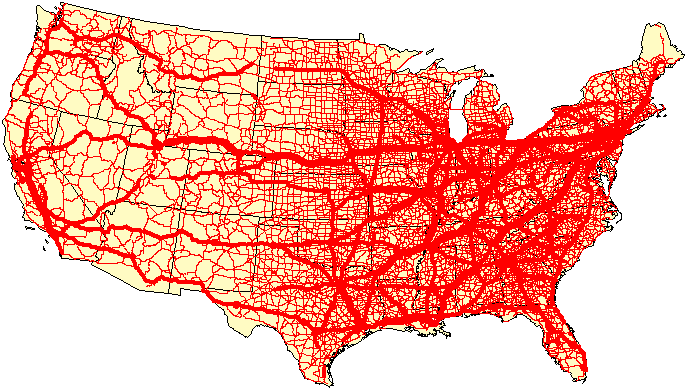
In light of the discussion about Amtrak long distance and corridors, I think that maybe it's time to redraw the Amtrak map. Unencumbered by the past, let's look at it based on population. Below is one such map, a heat map of county population - red is higher/denser population.
The idea behind this is that we need to connect East-West and North-South, based on population. The lines are thick to get across the concept of where it should go, not to specific locations. The North-South corridors are:
A: The coasts clearly each need a corridor - which looks a lot like they do now. East coast is really tough because there's a lot of density, but we end up in Florida.
B: There should be a corridor along the Mississippi, given the density. "Unfortunately", Chicago is a very high density city, so I swung the corridor that way, then back to the River.
C: There needs to be at least another corridor between the MIssissippi and the West Coast. I stuck one along the eastern side of the Rockies (the blueish line) but I was struck by the lack of population density. So I created another line (the greenish line) between the two lines that captures a lot more people.
East-West: the US is "narrow" enough between north and south that three corridors seem to work.
D: North: East Coast to West Coast along the Canadian border. The Great Lakes get in the way, so we have to dip down to Chicago. I wanted to terminate in Boston, but the line is wide enough that I decided to terminate in NYC. This looks much like the existing lines.
E: Central: From somewhere in the middle of the East Coast to around San Francisco. Since it's pretty close to DC, I terminated in DC. The line passes through St. Louis and Denver. Between DC and St. Louis, the line could really dip south toward Tennessee.
F: Southern: From somewhere in the middle of the South to Los Angeles. Atlanta's a big population center, so it would make sense to make it the termination point, but that would miss the East Coast corridor - although that could be swung west to hit Atlanta. Note that the corridor misses New Orleans to hit central Texas.
The idea behind all of this was to give each region of the US equal access to every other region. It basically ignores existing infrastructure and geography. Also it was interesting thought exercise. I'd encourage others to submit their own maps!
You do not have the required permissions to view the files attached to this post.