RichCoffey wrote: ↑Thu May 05, 2022 4:01 pm
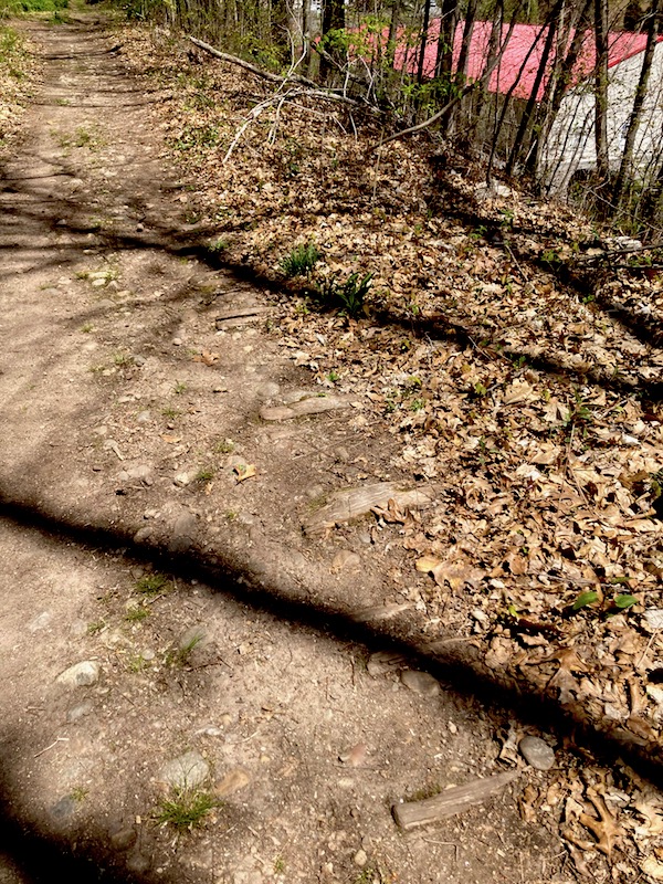
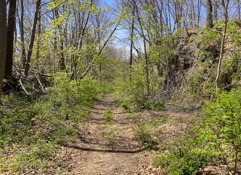
I hiked another short section of Portland - Abandoned Airline RR
https://rc-pedalpoint.blogspot.com/2022 ... ne-rr.html
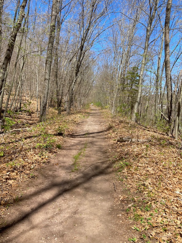
There are still rr ties in the roadbed!
Rich, which section is this? It doesn't look like the section the town opened a few years ago, from Depot Hill Rd in Cobalt east to the YMCA camp.
I recently checked out the 400' or so "missing link" between Cobalt and East Hampton... it's still very much impassable. A river runs through it and will require an elevated boardwalk and some brush-hogging to get to the start of the good trail at the CT 66 overpass.
The Air Line is quite possibly my most favorite rail trail. I've ridden it from the Portland section and from East Hampton all the way to Pomfret. Being from the area, I immediately saw "Portland" and "Air Line" and knew the line, but yes, some may think Portland ME.
Here's the link to the state's page on the Air Line....
https://portal.ct.gov/DEEP/State-Parks/ ... Park-Trail
The "Ghost Train/White Train" was a New York to Boston express train. From what I've heard, it was one of the only thru trains that did not stop in New Haven (they stopped in Middletown, though!). The Air Line east of Portland was abandoned in the mid/late 1960s... there wasn't enough industry along the route to justify its keeping, and the thru route was lost during the floods in the 50s (bridges in Putnam were not rebuilt).
When Amtrak was determining which route to use for its high speed electric service east of New Haven, there were 3 routes evaluated: the Shore Line, the Inland Route (via the Hartford Line and the B&A) and the Air Line. While it was determined the Air Line would've been the most direct and fastest route, it would've missed the major population centers and would have required not just rebuilding the entire corridor almost from scratch, but also double-tracking it. Some bridges were prepped for future double-tracking, but it would have required A LOT of work...... Not to mention the NIMBY factor!