Railroad Forums 

  • Need help documenting old NYS&W stations

  • Discussion related to New York, Susquehanna & Western operations past and present. Also includes some discussion related to Deleware Otsego owned and operated shortlines. Official web site can be found here: NYSW.COM.
Discussion related to New York, Susquehanna & Western operations past and present. Also includes some discussion related to Deleware Otsego owned and operated shortlines. Official web site can be found here: NYSW.COM.

Moderators: GOLDEN-ARM, NJ Vike

 #645359  by nyswfan
 
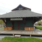
estatik wrote:Does anyone know what became of the Sussex station? I looked all over town for any signs of it, but didn't find anything I could prove in a court of law.
There were two rail lines that ran through sussex. The NYSW line ran in front of what is now the A&P on lower Unionville Rd then ran across 284 and followed 284 (roughly) to Unionville. If you follow the line from the A&P north, it appears that there are many buildings that were once served on the ROW. There is a shopping plaza that has been recently remodeled, there is a quiznos in there now off of 284. I remember before this was remodeled, and I think this might be the old sussex trainstation. correct me if Im wrong.

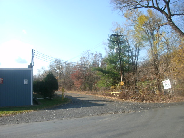
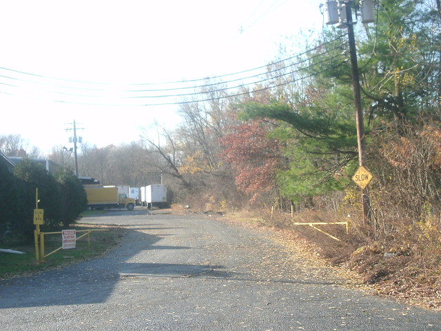
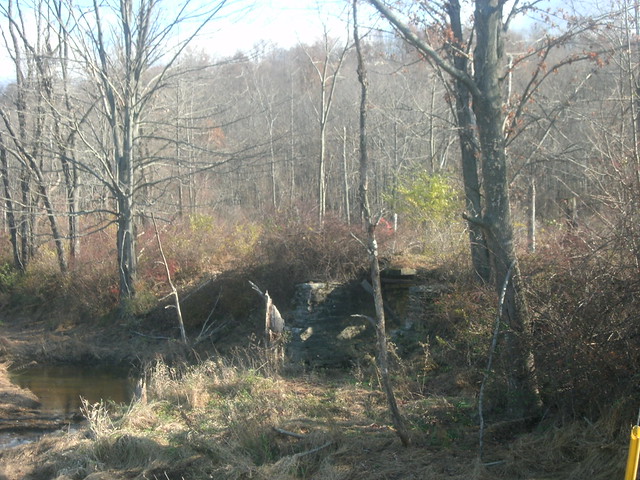
As for the L&NE the old ROW runs under the bridge before you get to the A&P. you can look to the right and see the concrete piers where the NYSW crossed the LNE. The LNE had a small branch line which ran off the main and roughly just passed the Brookside ball fields and terminated at the "Creamery" behind High Point Chevrolet. The LNE station is still there in someone's back yard.(its painted the same color as the house, and the loading platforms and the overhangs have been sawed off)
Last edited by nyswfan on Thu Apr 23, 2009 8:35 am, edited 1 time in total.
 #645622  by CarterB
 
Sussex, NJ

L&NE station: http://www.gingerb.com/L&NE%20Sussex%20 ... ew%202.jpg
http://www.gingerb.com/L&NE%20End%20of% ... Branch.jpg

DL&W and L&NE had joint station until the 1930s at Augusta Jct. : http://www.dlw-sussexbranch.com/Images/ ... r_card.JPG I'm told the NYS&W station was off 1st Street @ about Walnut.
 #899161  by woodsie
 
There was a freight station in Franklin, NJ - unused and in disrepair in the middle 1950s.
It was just north of the grade crossing on the road going up to the golf course from the
Franklin Pond. It was a classy building at one time, with massive wooden supports for the
roof overhangs. It may be shown on a USGS topo map [1950 edition] of the area.
 #899175  by CarterB
 
Is this the approx location of the Franklin, NJ freight station? N 41.11100 W 74.59095 Old topo maps show a siding also at that location.
 #899775  by frank754
 
Estatik: great work and nice photo documentation in your flickr set, thanks for the link. Going back to the subject of Campgaw, it was still there in the late 60's or so, very small, boxy and boarded up. I thought I had a picture of it somewhere, but it hasn't turned up in the past few years.
 #983849  by Roadgeek Adam
 
njmidland wrote:
estatik wrote:Now that I know there was one there once, I'll eventually make it out there and let you know.
Pictures of what remains at Vreeland Ave coming soon.

Now I have my own questions:

Is there anything left of the Hamburg station? If so/not, does anyone know where it is/was located? How about Quarryville?

Finally: Are there really no remaining stations on the Stroudsburg line between Sparta and PA? Maybe foundations at Hainsburg?
Hamburg was torched shortly after abandonment as a practice drill for the local fire department. I have looked for Quarryville but was never able to find anything - assuming it was somehwere near where the road crossing was.

You can find what appears to be a foundation at Stillwater. Yes you can find the foundation at Hainsburg and the rubble of Hainesburg Jct. was still there a few years ago. Blairstown was pretty much wiped out when they built the park in the yard area. I have been told you can find the foundation of Marksboro but I never have been able to locate it.
I don't know if its worth much now, but a 1908 topographic map places Quarryville station at Rose Morrow Road off Route 284 in Quarryville.

http://historical.mytopo.com/getImage.a ... g&state=NY

LLook just northwest of the L&NE alignment at the Quarryville marking. That bulge in the railroad marks the station.
 #988007  by Roadgeek Adam
 
Passaic River Rat wrote:I'm surprised no one mentioned Oak Ridge, albeit moved away from the ROW.
Well, this thread is on/off dead for periods at a time. Plus the original poster's account was discontinued, shows how old this thread is.

On a tangentially related topic, photos at Quarryville taken on Friday, will post when I'm fully rested.
 #988179  by Roadgeek Adam
 
well, here are the Quarryville photos taken Friday: (for those that don't know, Quarryville is the station on front of the 2nd NYSW book for The Next Station Will Be...series)

There isn't much impressive at the station, except for the obvious ROW.

Image
the station site, now built over on the Hanford-bound side and abandoned on the Beaver Lake-bound side.
Image
The station site from the paved-over right-of-way.
Image
Facing northbound from the station, (Hanford-bound), you have an old bridge through this current-day swamp and creek. The bridge, according to my friend, who tried getting to the bridge, said there's a massive hole where this bridge is, making it unsafe.