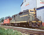
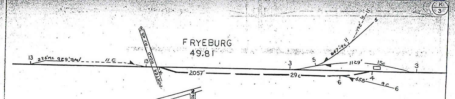
According to the Wikipedia article on the MEC Mountain Division, Fryeburg maintained a staffed agency until 1971. Anyone have any pictures of the passenger or freight station at Fryeburg? Anyone know where they might have been located?
-otto-
-otto-
----------------------------------------------
Moderator: New York State Railfan :: New York Central :: Toy Trains
NYW&B Fan Site :: A Magazine I Read Often :: A Museum I Volunteer At
Moderator: New York State Railfan :: New York Central :: Toy Trains
NYW&B Fan Site :: A Magazine I Read Often :: A Museum I Volunteer At
