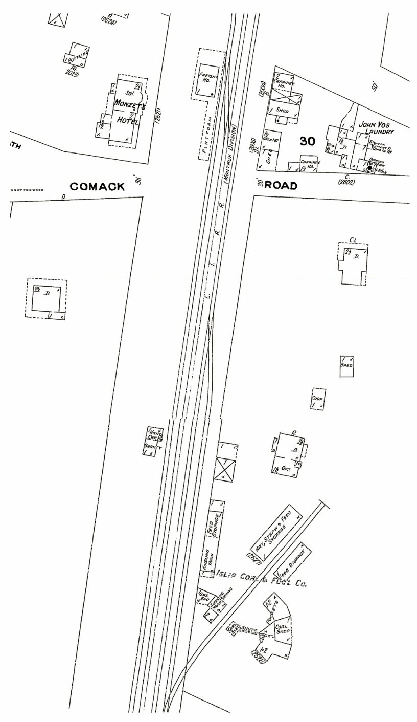
In this Sanborn map of 1909 we see the addition of a hand cars house and shanty (the future 2nd freight house location) west of Commack Rd and across from Islip Coal & Feed.
Hyde map 1915 - 2nd freight house west of (Comac Rd.) Commack Rd. neaar the top of 1915 Hyde map.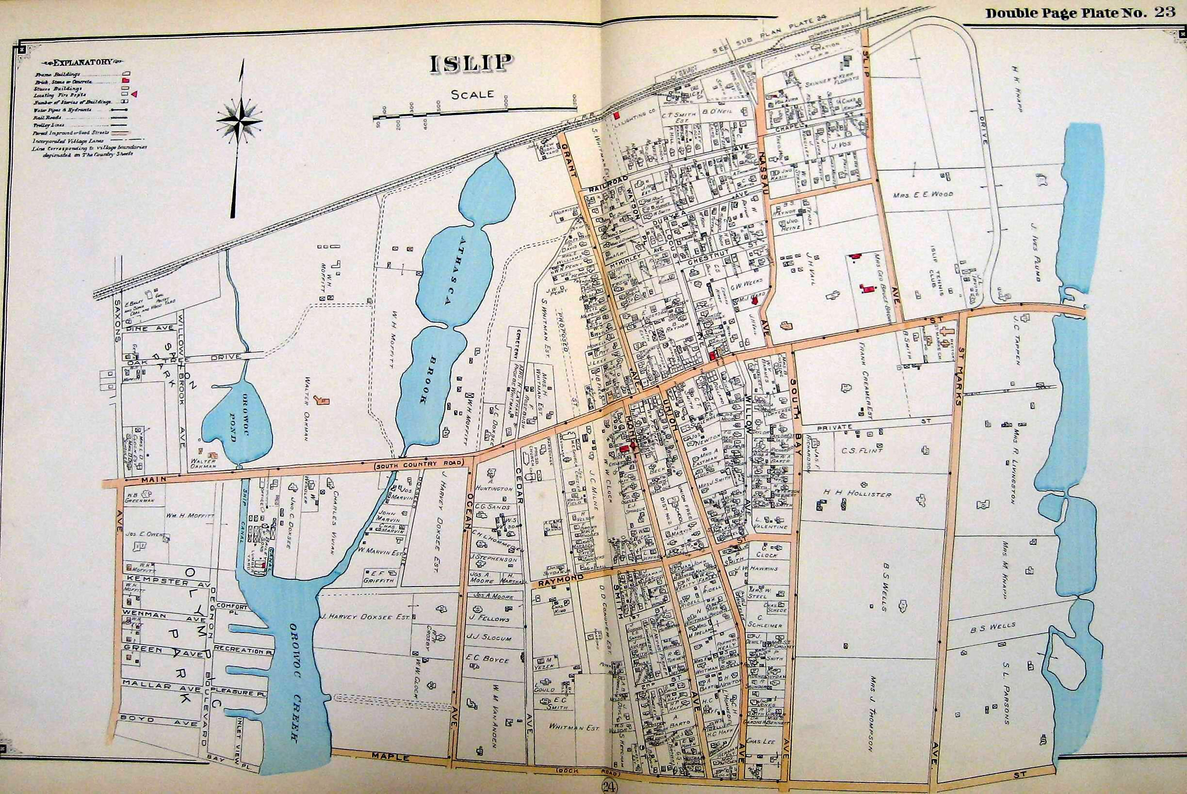
Sanborn 1925

Finally Emery map from 1958:

So the mystery is when was the 2nd freight station razed? Anyone have any ideas/photos of this facility??
Hyde map 1915 - 2nd freight house west of (Comac Rd.) Commack Rd. neaar the top of 1915 Hyde map.
Sanborn 1925
Finally Emery map from 1958:
So the mystery is when was the 2nd freight station razed? Anyone have any ideas/photos of this facility??