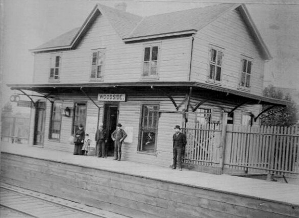
The hills at OYB are almost as far as they are in Montauk. They call it something else in Google maps, but this is the first crossing out of the present OYB station, Larabee Avenue. If you pan back and forth, you can see the hills in the distance in relation to the new station, and the older station was around the curve beyond the range of vision.
https://www.google.com/maps/@40.875412 ... 312!8i6656
One thing I would suggest is to dig up a list of the brick depots and then trying to see if there's imagery in Google maps that will confirm or deny the candidates. Don't forget the historical aerial maps also, here's one:
https://www.historicaerials.com/viewer While most of them only go back as far as the 1930's, it may also help considering how overgrown/overdeveloped things are now.

