Just listed as Syracuse. Over on the west side someplace? Thanks. No photographer listed.
 Syr.jpg (330.84 KiB) Viewed 1709 times
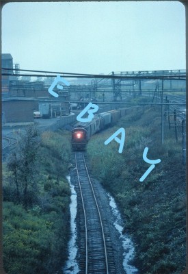
Looks like the ex-DL&W line to Oswego where it tunnels under the NYC mainline and West Shore at Syracuse Jct.
Train is southbound.
